


Le bois de Rochemave
– Lacoste peat bog.
– Information table.
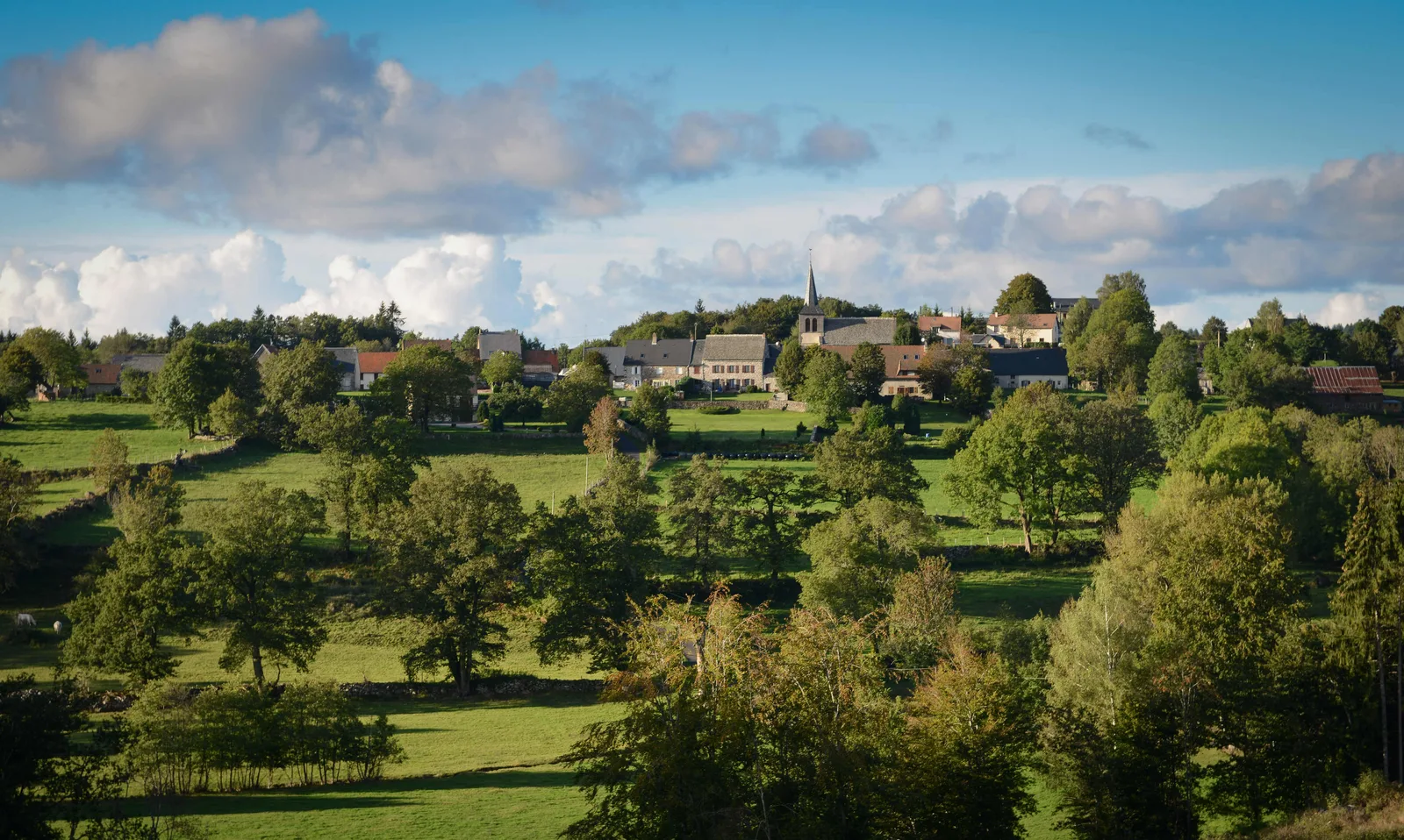
– View of the Cantal mountains and Sancy.
1/ From the start sign, cross the road and climb the path opposite the Calvary. Join a tarmac path. Continue right. At the first fork after the houses, stay right and continue until you reach the entrance to the woods.
2/ Turn left, then at the next fork go right. Stay on the main path under foliage. Then go down to an open intersection.
3/ Go right. At the first cross path, go up left. At the crossroads, continue to the right and follow an area of peat bogs (Tourbière de Lacoste – information table – view of the Cantal mountains). Before a house, join a tarmac path (view of the Sancy).
4/ Follow it to the right. At the D 613, continue right. Leave a road on the left and after 300 m, go up the first path on the left into the forest. At the fork, turn right. Stay on this path ignoring those on either side. At the road, go up to the right to return to the starting point.
Route details
Description
1 – Turn left, then at the next fork go right. Stay on the main path under foliage. Then go down to an open intersection.
2 – Go right. At the first cross path, go up left. At the crossroads, continue to the right and follow an area of peat bogs (Tourbière de Lacoste – information table – view of the Cantal mountains). Before a house, join a tarmac path (view of the Sancy).
3 – Follow it to the right. At the D 613, continue right. Leave a road on the left and after 300 m, go up the first path on the left into the forest. At the fork, turn right. Stay on this path ignoring those on either side. At the road, go up to the right to return to the starting point.