


1/ Head towards the church, go down the steps on the left (romanesque church porch). Go around the church, pass in front of the big house with the 6 “sitting dogs”, go straight and go down the path towards the bottom of the valley. At the intersection turn left and at the next intersection head left. At the road go right and after the campsite turn left, cross the D 922, go up the path opposite, ignore the grassy path on the left. At the road go left (view of Saint-Sauves and the granite mound of Châteauneuf), follow the direction of Chibet and at the fork go left until you reach a T intersection.
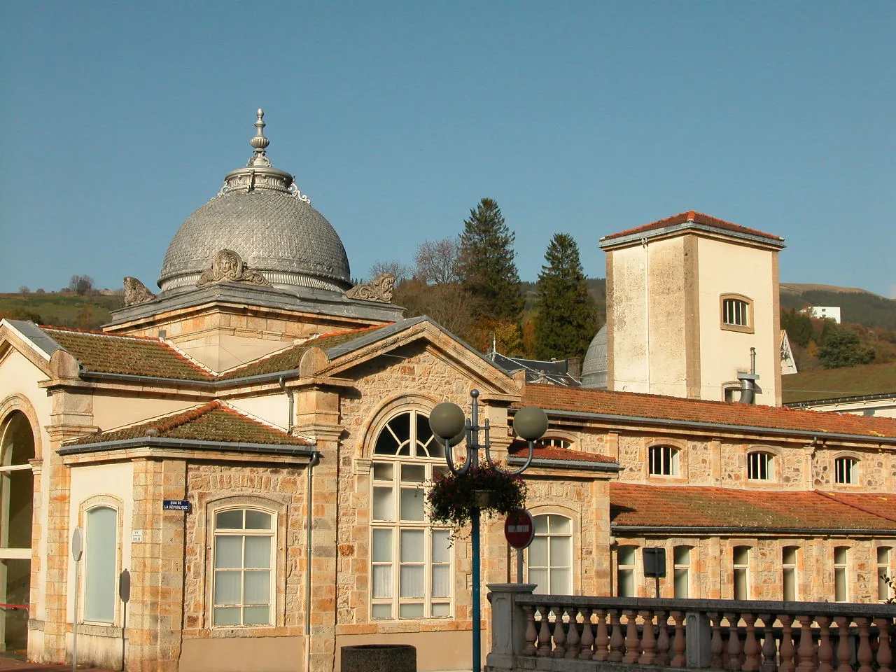
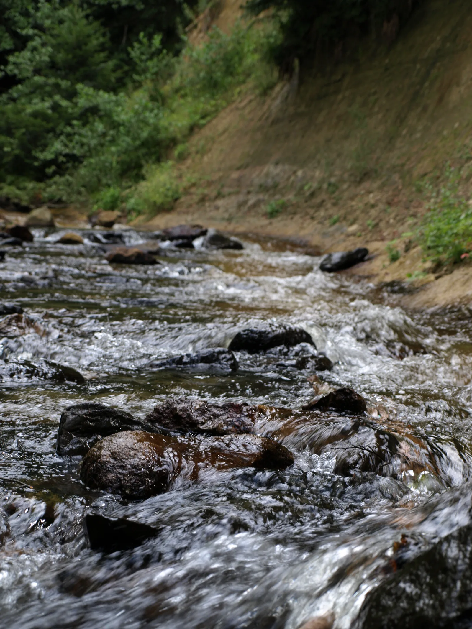
2/ Take the path on the right that goes up into the woods; go down to the first path on the left. Follow the forest path. The path rises up the Dordogne. Cross a footbridge, follow the left bank of the Dordogne. At the road take the path opposite, continue to follow the Dordogne (belvedere on the dam). Continue left on the wide path; at the road head left and turn right towards “la lauzeraie”. Follow Chemin de la Suchère then Avenue du Général Mangin in La Bourboule. At the stop sign go left onto avenue Agis Ledru then rue du Professor Cuvelier to boulevard Georges Clemenceau.
3/ Cross it, head towards the no-entry sign on rue Sedaiges; climb the steps; At the T-junction go left towards Murat-le-Quaire (2,3 km). At the platform (view of La Bourboule) take the rising path on the right, pass over the butte La Roche des Fées (view of Quaire and the mountains), go down towards Quaire and Murat-le-Quaire. On the road, cross the railway line and take the Chemin de Vergne Noire, entering the undergrowth. At the road go opposite and continue towards Murat-le-Quaire by climbing the log steps (view of La Bourboule and the Sancy massif). Enter Murat-le-Quaire until the church.
4/ Turn right on Route de La Banne. Leave Murat-le-Quaire (off the circuit on the right: panorama towards the cross), turn right onto Chemin des Couderts, cross the road and head left onto Chemin des Clos. Ignore the first path on the right and at the fork, turn right, continue on the plateau (panorama) for 2 km until the stone cross in the village of Paillers.
5/ Continue straight, at the fork continue left. At the stop sign, cross the road and go down the path. Cross the road, go under the railway bridge, take immediately right, then go through the tunnel under the road and continue straight on until Hors. At the intersection, head left and take the first path on the right. Cross the road, continue straight towards “des Ludines” and reach the starting point.
– The Dordogne river (belvedere on the dam).
– The La Roche des Fées hillock (view of Quaire and the mountains).
Route details
Description
1 – Take the path on the right that goes up into the woods; go down to the first path on the left. Follow the forest path. The path rises up the Dordogne. Cross a footbridge, follow the left bank of the Dordogne. At the road take the path opposite, continue to follow the Dordogne (belvedere on the dam). Continue left on the wide path; at the road head left and turn right towards “la lauzeraie”. Follow Chemin de la Suchère then Avenue du Général Mangin in La Bourboule. At the stop sign go left onto avenue Agis Ledru then rue du Professor Cuvelier to boulevard Georges Clemenceau.
2 – Cross it, head towards the no-entry sign on rue Sedaiges; climb the steps; At the T-junction go left towards Murat-le-Quaire (2,3 km). At the platform (view of La Bourboule) take the rising path on the right, pass over the butte La Roche des Fées (view of Quaire and the mountains), go down towards Quaire and Murat-le-Quaire. On the road, cross the railway line and take the Chemin de Vergne Noire, entering the undergrowth. At the road go opposite and continue towards Murat-le-Quaire by climbing the log steps (view of La Bourboule and the Sancy massif). Enter Murat-le-Quaire until the church.
3 – Turn right onto Route de La Banne. Leave Murat-le-Quaire (off the circuit on the right: panorama towards the cross), turn right onto Chemin des Couderts, cross the road and head left onto Chemin des Clos. Ignore the first path on the right and at the fork, turn right, continue on the plateau (panorama) for 2 km until the stone cross in the village of Paillers.
4 – Continue straight, at the fork continue left. At the stop sign, cross the road and go down the path. Cross the road, go under the railway bridge, take immediately right, then go through the tunnel under the road and continue straight on until Hors. At the intersection, head left and take the first path on the right. Cross the road, continue straight towards “des Ludines” and reach the starting point.