


– Listed church of Saint-Pardoux.
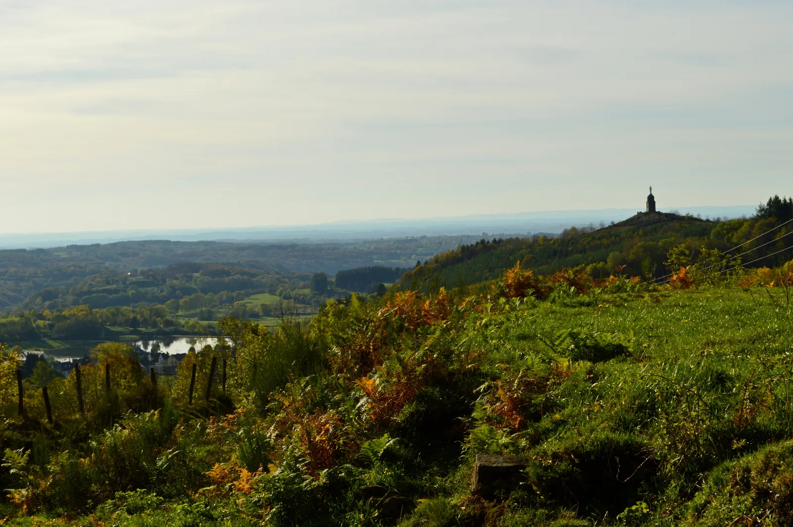
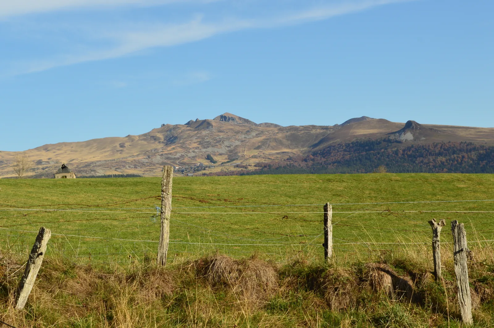
– View of the Sancy massif and the Monts du Cantal.
1/ From the departure panel, head towards the information point. Turn right before the restaurant and cross the grassy area. Take a wide path on the right. Just before the road, go left for 50 m and turn right. At the fork, take the wide grassy path on the left until you reach a road (sign Chambourguet sud).
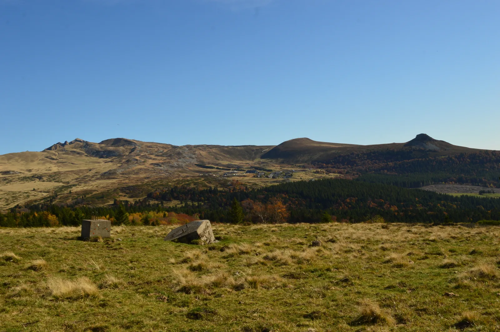
2/ Turn right and, about 200 m, take a path on the left in the woods. Go straight up. At the edge of the woods, turn left then go over a ladder to reach the summit of the Puy de Chambourguet (arrival of the ski lift) (6 mins AR continuing straight on the ridge, view of the Banne d'Ordanche, the Sancy and Cantal). Continue on the right in the meadow, for 80 m, to the large stone located before the concrete blocks.
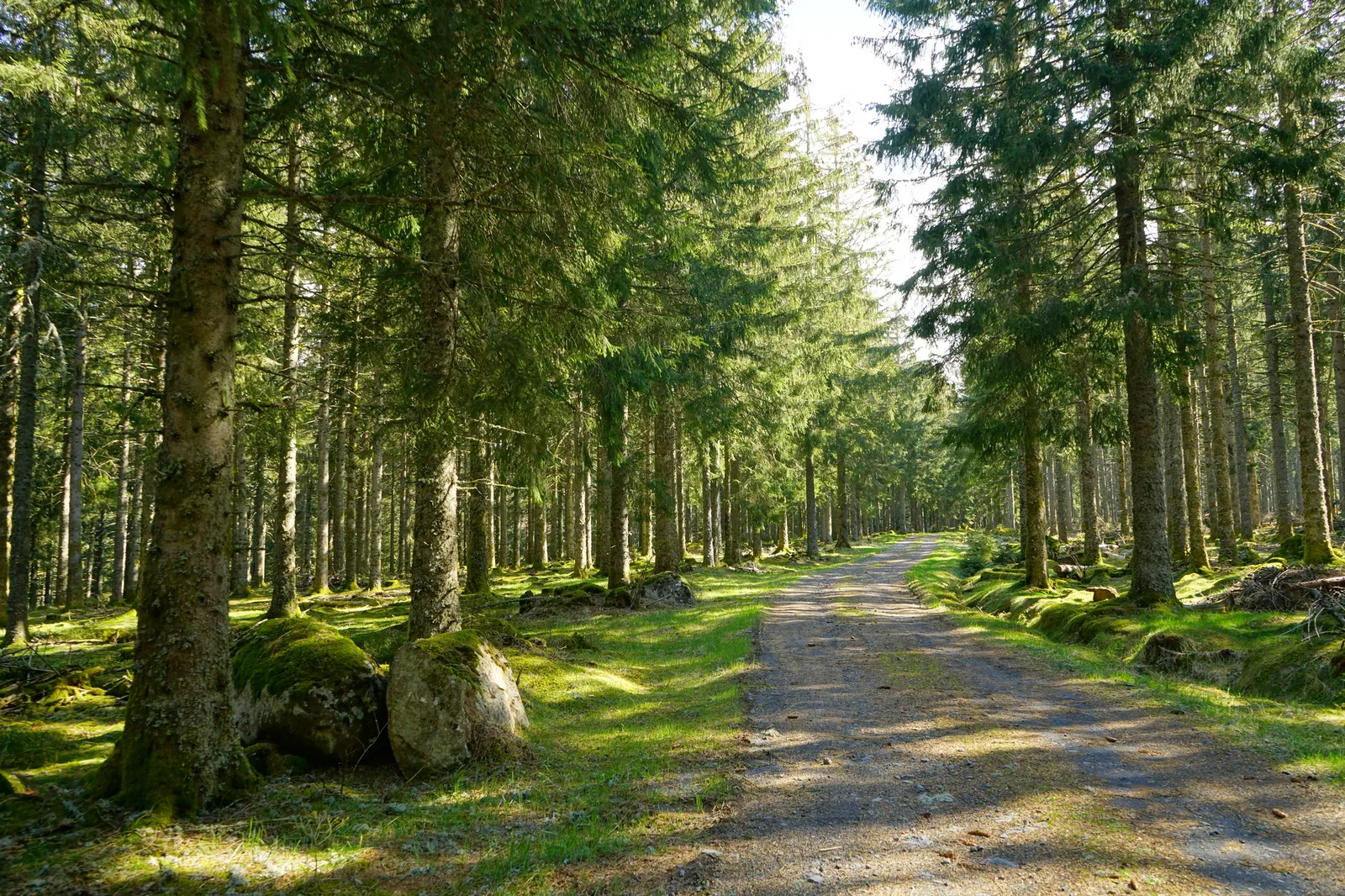
3/ Go down to the right to reach a wide path entering the forest. Pass a ladder and continue downhill, keeping to the right until you reach a stony path. Turn left for 10 m then right along a wide path until you reach a road junction. Follow the road towards La Tour d'Auvergne. Shortly after the car park take a path on the right. Cross a fence, cross the meadow (viewpoint), follow the edge of the forest then go down a wide path leading to a road. 250 m after a telephone pylon, turn right, cross a fence, walk along the edge of the woods to a stepladder.
4/ Cross it, immediately take the path going down to the left (viewpoint over La Tour d'Auvergne). At the exit of the pasture, pass the fence and go down left until you reach a road crossing. Go opposite on the road towards La Tour d'Auvergne for 350 m. Go up left towards the fairground (30 m: basalt pavement on the fairground) then left towards Cloux. Pass a cross then go down the road for 60m. Turn right onto a grassy path. At the white cross, go down left until you reach a road. Cross it to take a grassy path opposite below. The path, balcony on a road, joins a street which goes directly down to the lake (picnic place). After the tennis court, follow the lake shore to the right. Go back up to the houses and follow the path on the left. At the fork located 50 m before the dike, continue to the right until you reach the place of the church of Saint-Pardoux (listed church).
5/ Go around the church. At the cross, go up opposite. Cross the D203 and take the path opposite. At the first intersection, turn left and continue, ignoring the path on the left. We reach a small tarmac road which we follow crossing the hamlet Longechaud, up to the D129 which we cross. At the hamlet of La Roche, continue left along the wide path (view of the Limousin and the Chavanon viaduct) which quickly penetrates into the forest. At the first crossroads, go opposite and follow the forest road. At the next two intersections, keep left. Continue ignoring the paths on the left until you reach the starting point.
Route details
Description
1 – Turn right and, after around 200 m, take a path on the left in the woods. Go straight up. At the edge of the woods, turn left then go over a ladder to reach the summit of the Puy de Chambourguet (arrival of the ski lift) (6 minutes AR continuing straight on the ridge, view of the Banne d'Ordanche, the Sancy and Cantal). Continue on the right in the meadow, for 80 m, to the large stone located before the concrete blocks.
2 – Go down to the right to reach a wide path entering the forest. Pass a ladder and continue downhill, keeping to the right until you reach a stony path. Turn left for 10 m then right along a wide path until you reach a road junction. Follow the road towards La Tour d'Auvergne. Shortly after the car park take a path on the right. Cross a fence, cross the meadow (viewpoint), follow the edge of the forest then go down a wide path leading to a road. 250 m after a telephone pylon, turn right, cross a fence, walk along the edge of the woods to a stepladder.
3 – Cross it, immediately take the path going down to the left (viewpoint over La Tour d’Auvergne). At the exit of the pasture, pass the fence and go down left until you reach a road crossing. Go opposite on the road towards La Tour d'Auvergne for 350 m. Go up left towards the fairground (30 m: basalt pavement on the fairground) then left towards Cloux. Pass a cross then go down the road for 60m. Turn right onto a grassy path. At the white cross, go down left until you reach a road. Cross it to take a grassy path opposite below. The path, balcony on a road, joins a street which goes directly down to the lake (picnic place). After the tennis court, follow the lake shore to the right. Go back up to the houses and follow the path on the left. At the fork located 50 m before the dike, continue to the right until you reach the place of the church of Saint-Pardoux (listed church).
4 – Go around the church. At the cross, go up opposite. Cross the D203 and take the path opposite. At the first intersection, turn left and continue, ignoring the path on the left. We reach a small tarmac road which we follow crossing the hamlet Longechaud, up to the D129 which we cross. At the hamlet of La Roche, continue left along the wide path (view of the Limousin and the Chavanon viaduct) which quickly penetrates into the forest. At the first crossroads, go opposite and follow the forest road. At the next two intersections, keep left. Continue ignoring the paths on the left until you reach the starting point.