


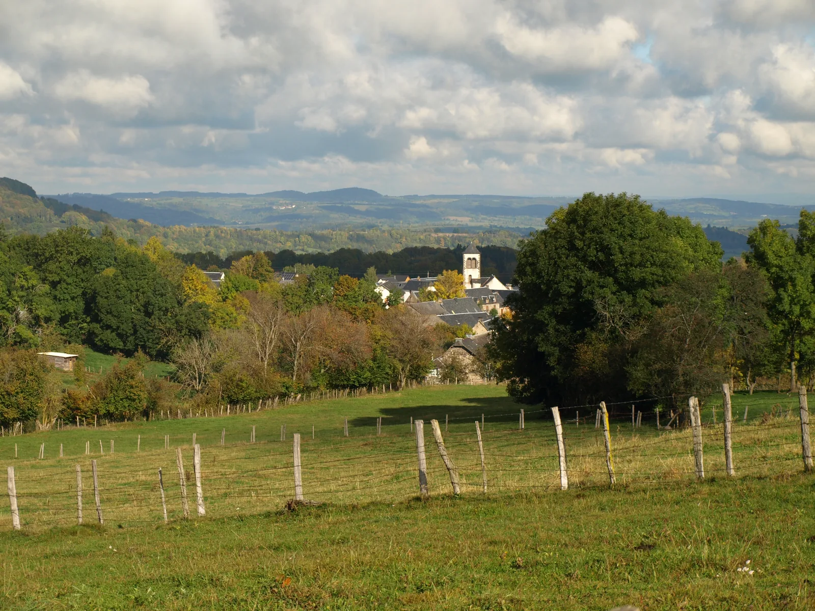
La haute vallée de la Sioule
– Bread oven and shoeing loom.
– View of the Puys chain, view of the Puy de Dôme, the Puys de la Vache and Lassolas, the Puy de Baladou and the Sancy.
– Puy de la Garde.
1/ From the departure sign, located near the bread oven, take the main road on the left and pass to the right of the church. At the second intersection go left, pass the school and stay on a wide path until the hamlet of Bessat. Cross it by going up on the right. Pass the wash house and the water trough, turn left, and at the crossroads, go down the grassy path to the right until you reach the road.
2/ Take it on the left to the village of Ribeyre. At the entrance, head left (bread oven and shoeing loom). Go up to the left then turn right. At the crow's feet, continue the path, leaving the farm on the right. Ignore the next path on the left. At the T-intersection, turn right. Cross the road, go down the path opposite to the bridge over the Sioule.
3/ Go up while staying left until you reach a fork. Turn left and pass a farm. At the crossroads, follow the road on the left. At Maronie, go up to the right on the plateau (view of the Chaîne des Puys). Turn right to arrive at the center of the village of Neuville (picnic area, communal oven, watering trough).
4/ Start opposite the left of the Cross. Follow straight ahead until the D561, take it on the left for 200 m. Turn right onto a path then a small road up to the Croix Guillaume (view of the Puy de Dôme, the Puys de la Vache and the Puys de Lassolas).
5/ Head left towards Chevalard and Fontsalive (before the descent with a view of the Puy de Baladou and the Sancy). At the entrance to Chevalard, go up the grassy path to the right until you reach the road. Take it to the right. At the next intersection, take the path on the left. At the next crossroads, turn right. 300m away, possibility of accessing the Puy de la Garde (return 20 mins). At the first houses of Vernines, turn left. Go down and turn onto the first street on the right (rue de la Chareyre) to reach the starting point.
Route details
Description
1 – Take it on the left to the village of Ribeyre. At the entrance, head left (bread oven and shoeing loom). Go up to the left then turn right. At the crow's feet, continue the path, leaving the farm on the right. Ignore the next path on the left. At the T-intersection, turn right. Cross the road, go down the path opposite to the bridge over the Sioule.
2 – Go up while staying left until you reach a fork. Turn left and pass a farm. At the crossroads, follow the road on the left. At La Maronie, go up to the right on the plateau (view of the Chaîne des Puys). Turn right to arrive at the center of the village of Neuville (picnic area, communal oven, watering trough).
3 – Start opposite the left of the Cross. Follow straight ahead until the D561, take it on the left for 200 m. Turn right onto a path then a small road up to the Croix Guillaume (view of the Puy de Dôme, the Puys de la Vache and the Puys de Lassolas).
4 – Head left again towards Chevalard and Fontsalive (before the descent with a view of the Puy de Baladou and the Sancy). At the entrance to Chevalard, go up the grassy path to the right until you reach the road. Take it to the right. At the next intersection, take the path on the left. At the next crossroads, turn right. At 300m, possibility of accessing the Puy de la Garde (AR 20 mins). At the first houses of Vernines, turn left. Go down and turn onto the first street on the right (rue de la Chareyre) to reach the starting point.