


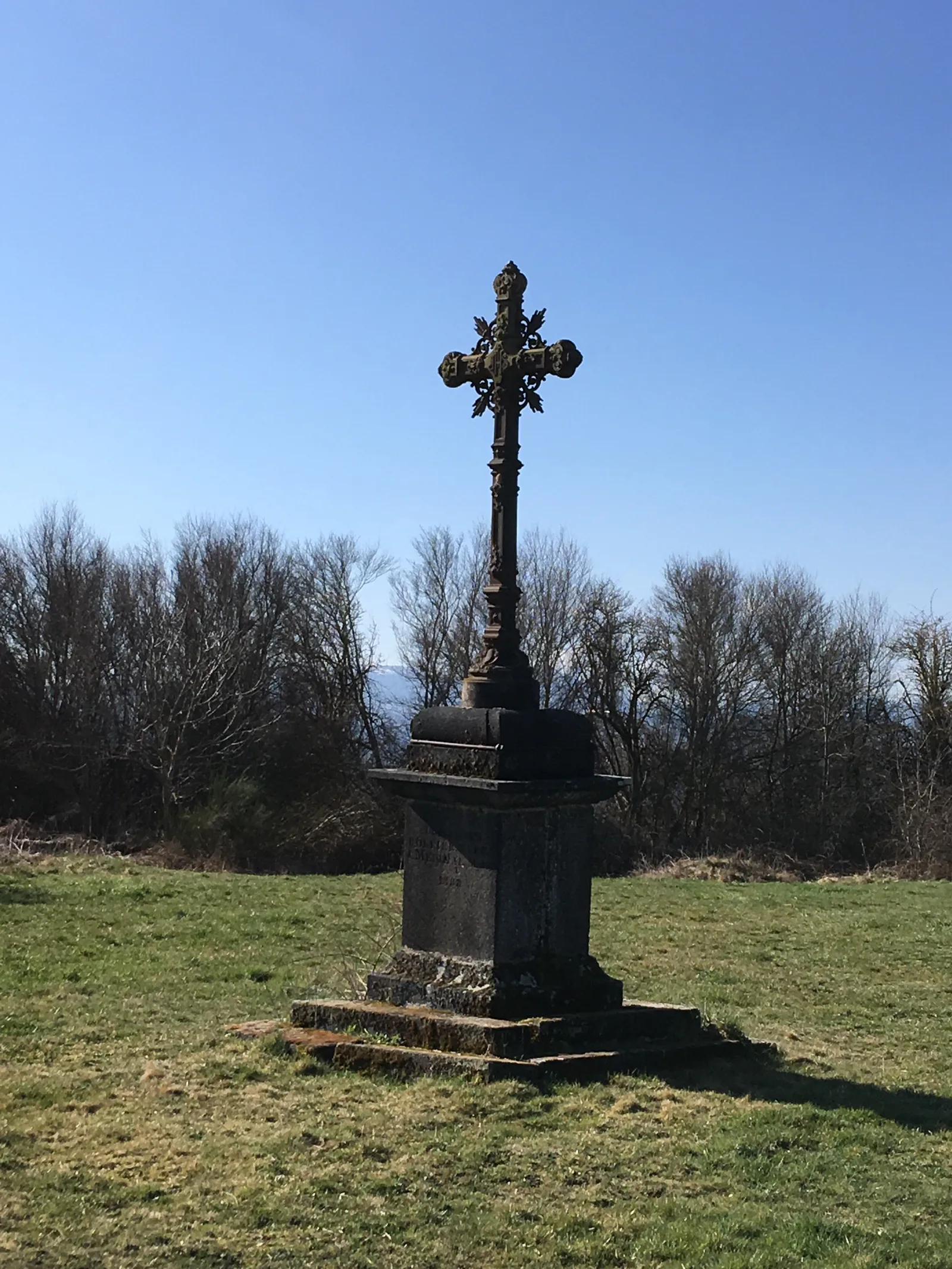
1/ From the starting sign, take the wide path up to the cross. (view of the Banne d'Ordanche). At the fork go down right to the crossroads.
2/ Continue opposite and go down the first path on the right. At the bottom, at the fork, go left and continue between woods and pastures. At the T-junction, go down the track on the right, ignore a path on the left then another on the right (on this off-circuit path about 100 m from the Sioule Sioulot confluence), follow the Sioule until you reach a footbridge.
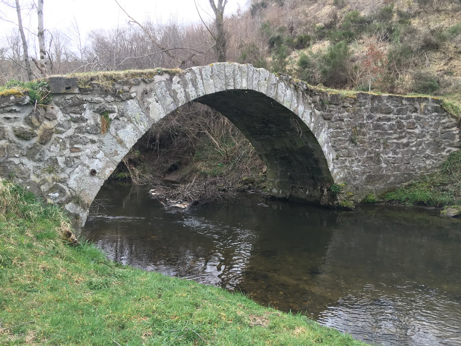
3/ Take it and go up to the hamlet of Monteillet. At the exit, turn left onto the Glavin road (view of the Puy de Dôme) and follow it, ignoring the side paths until you reach a fork. Turn left onto the path and continue to the Glavin bridge.
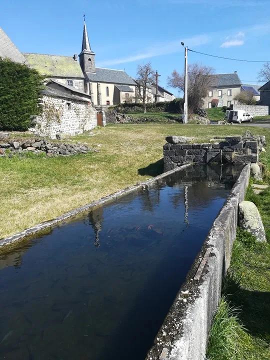
4/ Take it and go up opposite on the sandy path, ignoring the path on the right as you go up. At the T-junction, continue left. Pass along the wash house (wash house and water trough) and turn left twice to reach the departure sign.
Route details
Description
2/ Continue opposite and go down the first path on the right. At the bottom, at the fork, go left and continue between woods and pastures. At the T-junction, go down the track on the right, ignore a path on the left then another on the right (on this off-circuit path about 100 m from the Sioule Sioulot confluence), follow the Sioule until you reach a footbridge.
3/ Take it and go up to the hamlet of Monteillet. At the exit, turn left onto the Glavin road (view of the Puy de Dôme) and follow it, ignoring the side paths until you reach a fork. Turn left onto the path and continue to the Glavin bridge.
4/ Take it and go up opposite on the sandy path, ignoring the path on the right as you go up. At the T-junction, continue left. Pass along the wash house (wash house and water trough) and turn left twice to reach the departure sign.