


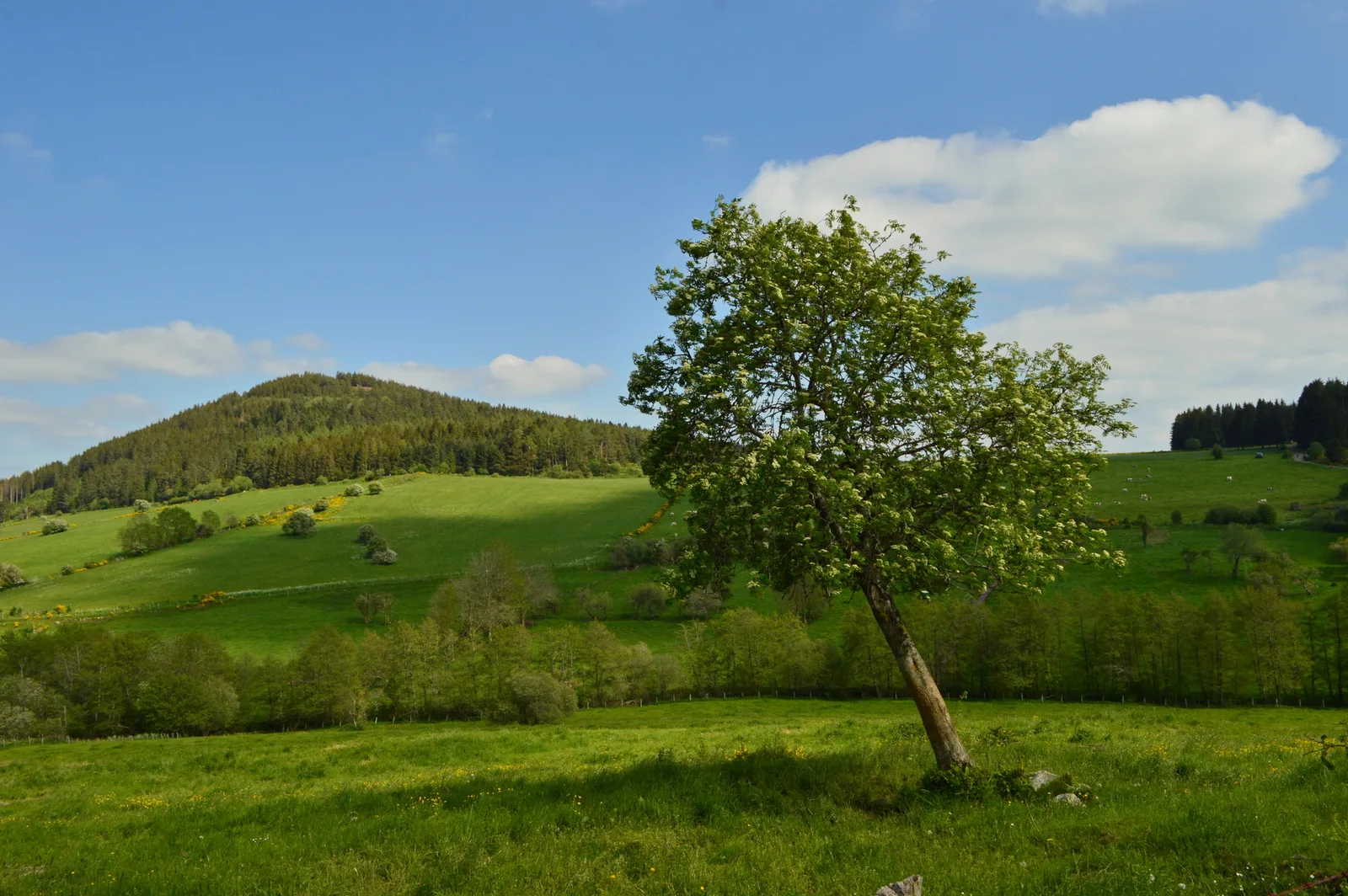

Panoramic views of the Puys chain, the Dores mountains, the Sancy massif.
Topo / step by step1/ From the esplanade, facing the sign, go up to the left. Go straight ahead to a crow's foot at the foot of Puy de Monténard.
2/ Go up to the left in the woods and continue straight (ignoring the paths on either side) until the third path going up on the left.
3/ Take it, continue straight until you reach a crossroads; take the path on the right which then turns sharply to the left. At the next intersection, continue straight on until you reach a crow's foot.
4/ Go up to the right for a round trip to the summit of Puy de Monténard, (view of Saulzet le Froid, the Pessade plateau, the Sancy chain and the Monne valley). Returning to point 3, go down to the right until the T-junction. Take the wide path on the left and go down to the fence after leaving the woods.
5/ Follow the path to the left, along the fence and at the first crossroads, go left to reach the starting point (view of the Monne valley, the Chay plateau, and the Livradois-Forez in the distance).
Route details
Description
1 – Go up to the left in the woods and continue straight (ignoring the paths on either side) up to the third path going up on the left.
2 – Take it, continue straight until you reach a crossroads; take the path on the right which then turns sharply to the left. At the next intersection, continue straight on until you reach a crow's foot.
3 – Go up to the right for a return trip to the summit of Puy de Monténard, (view of Saulzet le Froid, the Pessade plateau, the Sancy chain and the Monne valley). Returning to point 3 go down to the right until the T-junction. Take the wide path on the left and go down to the fence after leaving the woods.
4 – Follow the path to the left, along the fence and at the first crossroads, go left to reach the starting point (view of the Monne valley, the Chay plateau, and the Livradois-Forez in the distance).