


1/ Facing the start sign, go to the right across the grassy area and take the path to the left. At the T-junction, turn left and join a tarmac road; follow it to the right for 150 m until you reach the D68 road. Cross it and take the tarmac path opposite. At the fork, take the right path for 1,2 km. We arrive at a vast crossroads.
2/ Turn right for 170 m. We arrive at the stele and the Montmeyre bins (stele in memory of the Ardents maquis; watering troughs). Turn around and rejoin the intersection. Continue opposite along a wide path for 1,3 km until you reach a T-junction in a clearing. Turn right for 100 m (a watering hole, the Ceyssat ferry).
3/ Go back down to the crossroads and continue straight for approximately 2,5 km until you reach a crossroads of 4 wide paths.
4/ Turn left. (viewpoint – a few dozen meters after the crossroads, view of the Banne d'Ordanche and a little further on the Sancy massif) and join the D68 road, cross it and continue opposite. At the road, turn left for 100 m to reach the starting point.
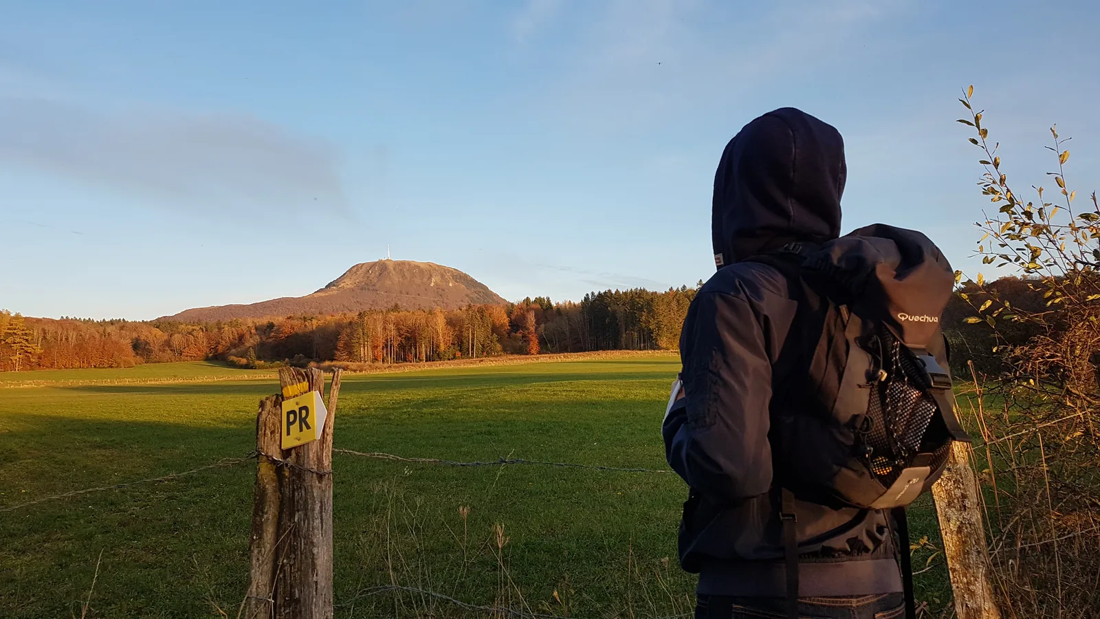
– The Puy de Dôme, giant of Auvergne.
– The Montemeyre site (mecca of Auvergne resistance).
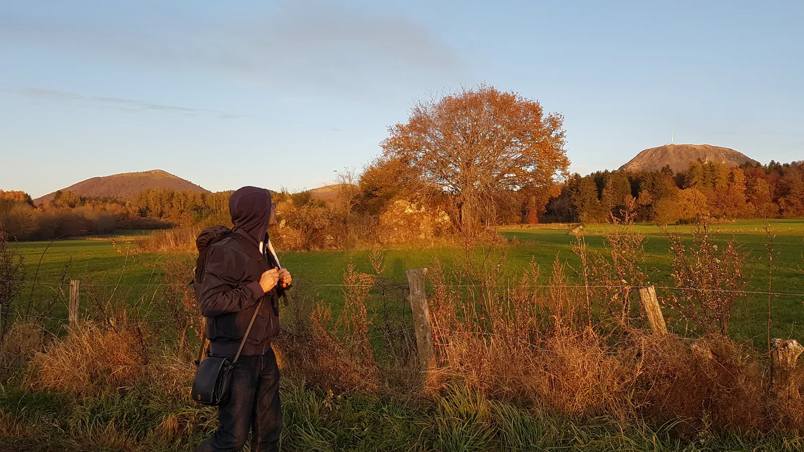
– View of the Banne d’Ordanche and the Sancy massif.
Route details
Description
1 – Turn right for 170 m. We arrive at the stele and the Montmeyre bins (stele in memory of the Ardents maquis; watering troughs). Turn around and rejoin the intersection. Continue opposite along a wide path for 1,3 km until you reach a T-junction in a clearing. Turn right for 100 m (a watering hole, the Ceyssat ferry).
2 – Go back down to the crossroads and continue straight for approximately 2,5 km until you reach a crossroads of 4 wide paths.
3 – Turn left. (viewpoint – a few dozen meters after the crossroads, view of the Banne d'Ordanche and a little further on the Sancy massif) and join the D68 road, cross it and continue opposite. At the road, turn left for 100 m to reach the starting point.