


– Ruins of the Bernardines abbey.
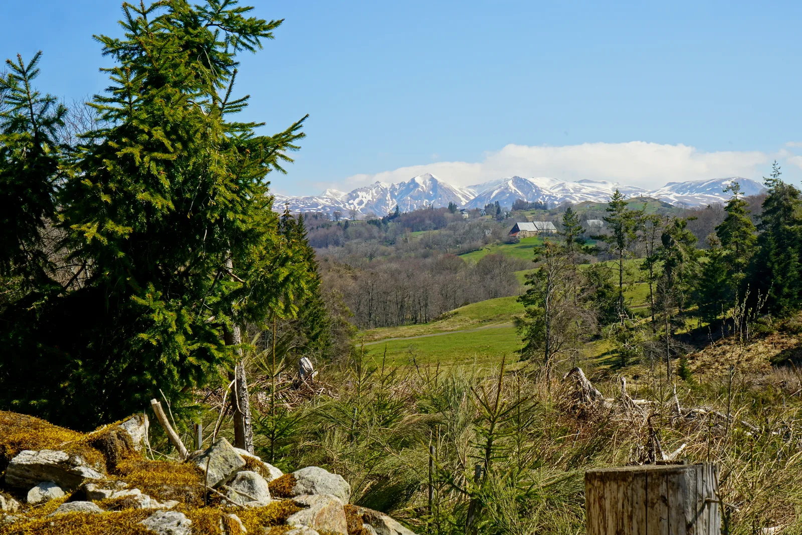
– View of the Cantal mountains.
– Pastures, heaths of broom and hazel trees.
1/ From the departure sign, go back towards Caux, cross the hamlet and continue until the first path on the right. Follow it until you reach a street, within sight of the Mazet farm.
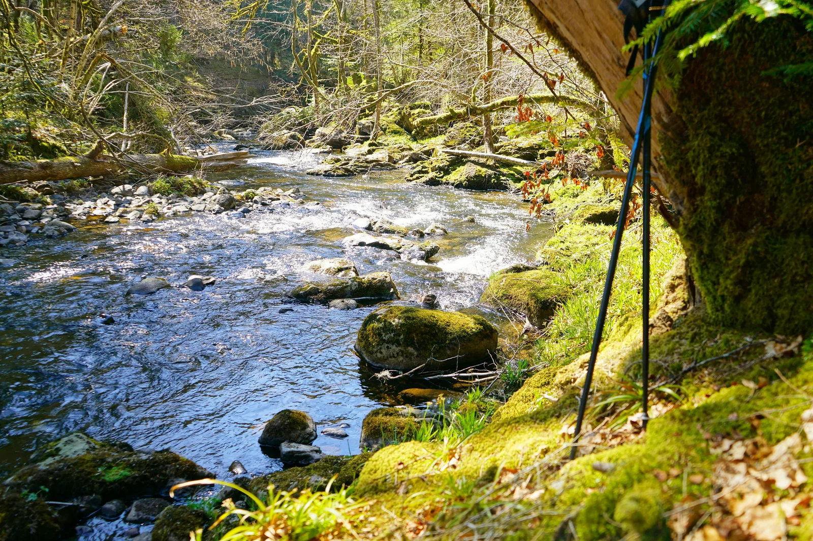
2/ Turn right and follow the edge of the woods. At the tarmac path, go right. Go beyond the water reservoir and continue straight into the forest, following the right bank of the stream overlooking it. Ignore the paths on either side. At the exit of the woods (ruins of the Bernardines abbey), continue to the place called Le Vassin.
3/ Take the asphalt path on the right. Go up, ignoring paths on either side, until you reach a wide path on the right.
4/ Take it between woods and pastures. Follow a small road to the right and after 100 m turn right again. 200 m after the bridge, in the bend, take the path uphill on the left. Follow a fence on the left, then a hedge on the right, between two meadows (view of the Cantal mountains). Join a path that leads back to the starting point.
Route details
Description
1 – Turn right and follow the edge of the woods. At the tarmac path, go right. Go beyond the water reservoir and continue straight into the forest, following the right bank of the stream overlooking it. Ignore the paths on either side. At the exit of the woods (ruins of the Bernardines abbey), continue to the place called Le Vassin.
2 – Take the tarmac path on the right. Go up, ignoring paths on either side, until you reach a wide path on the right.
3 – Take it between woods and pastures. Follow a small road to the right and after 100 m turn right again. 200 m after the bridge, in the bend, take the path uphill on the left. Follow a fence on the left, then a hedge on the right, between two meadows (view of the Cantal mountains). Join a path that leads back to the starting point.