


L'étang de Banson
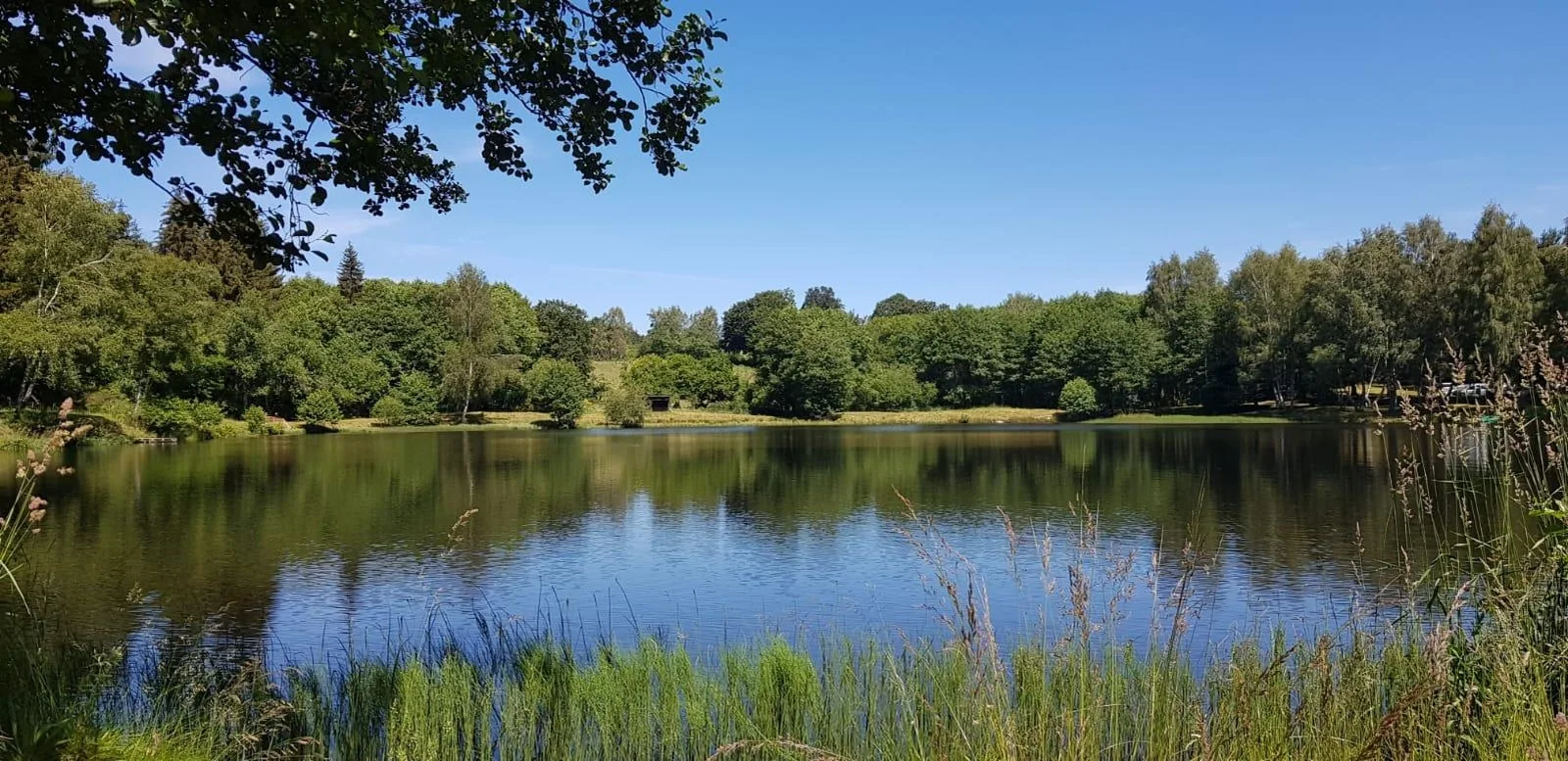
– Banson Pond.
– View of the Sancy massif.
– Common oven, water trough, shoeing loom.
1/ From the starting sign, follow the small street and head left to cross the Gelles stream via a wooden footbridge; continue opposite to join the road. Cross it and go up opposite it for 500 m until you reach a path on the right.
2/ Take it for 200 m, join a wider path and continue opposite. At the T-junction, turn left to La Vergne. Cross the village (watering trough, cross) via a small tarmac road (view of the Sancy massif) to the D567.
3/ Go left towards Banson, take the first path on the right for 100 m and turn left to find the D567. At the entrance to the village (common oven, watering trough, shoeing loom), follow rue de l'Etang on the right. At the fork, continue right towards the pond, then left at the next intersection. Go around the pond to the left then go up the first path on the left. Continue, then at the intersection above the small street go up in bends on the right until you reach a T-junction.
4/ Go down to the right. At the first crossroads, continue straight ahead and, at the next one, go up to the left until you reach the main road. Go left for 300 m, then go up the road on the right for 400 m (view of the puys), up to the path on the right.
5/ Go down this path to Montel. At the crossroads at the entrance to the village, continue opposite, then immediately left. Follow the D134 on the left and take the first path on the right. Cross the next intersection, continue straight on until you reach a T-junction and turn right to reach the start.
Route details
Description
1 – Take it for 200 m, join a wider path and continue opposite. At the T-junction, turn left to La Vergne. Cross the village (watering trough, cross) via a small tarmac road (view of the Sancy massif) to the D567.
2 – Go left towards Banson, take the first path on the right for 100 m and turn left to find the D567. At the entrance to the village (common oven, watering trough, shoeing loom), follow rue de l'Etang on the right. At the fork, continue right towards the pond, then left at the next intersection. Go around the pond to the left then go up the first path on the left. Continue, then at the intersection above the small street go up in bends to the right until you reach a T-junction.
3 – Go down to the right. At the first crossroads, continue straight ahead and, at the next one, go up to the left until you reach the main road. Go left for 300 m, then go up the road on the right for 400 m (view of the puys), up to the path on the right.
4 – Go down this path to Montel. At the crossroads at the entrance to the village, continue opposite, then immediately left. Follow the D134 on the left and take the first path on the right. Cross the next intersection, continue straight on until you reach a T-junction and turn right to reach the start.