


Le puy de Dôme
– View to the left of the Puy de Côme, the Grand Suchet and the Petit Suchet.
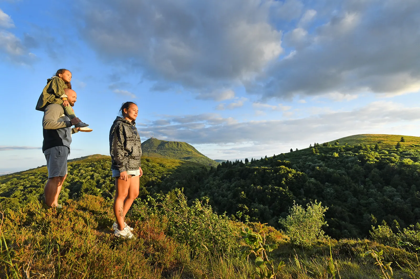
– View of the volcanoes and the Sancy massif.
1/ Facing the departure sign, turn left onto the stone path. Proceed under a canopy of beech and hazel trees until you reach pastures which you cross (view on the left of the Puy de Côme, the Grand Suchet and the Petit Suchet – caves). Continue to the crow's feet.
2/ Stay right and continue under the hazelnut trees until the intersection with the GR.
3/ Go up to the right towards the Plateau du Traversin up to the fountain (1125 m).
4/ Head right, then climb steeply to reach a crossroads. Ignore the path on the left, continue through heather and blueberry bushes to the foot of the stairs which you climb. On the road, go up left, stay on the sidewalk to reach the site platform and the visitor center.
5/ Leave it on the left, begin the descent via Chemin des Muletiers (to the south, view of the volcanoes and the Sancy massif). Cross the road and complete the descent to the car park.
Off the circuit: you can take the Chemin des Conquérants which circles the summit (Viewpoint) (about thirty minutes). On the west side picnic site and picnic room, toilets. Possibility to follow the walkway which offers a 360° panorama and return to the reception center (about an hour).
Route details
Description
1 – Stay right and continue under the hazelnut trees until the intersection with the GR.
2 – Go up to the right towards the Plateau du Traversin up to the fountain (1125 m).
3 – Head right, then climb steeply to reach a crossroads. Ignore the path on the left, continue through heather and blueberry bushes to the foot of the stairs which you climb. On the road, go up left, stay on the sidewalk to reach the site platform and the visitor center.
4 – Leave it on the left, begin the descent via Chemin des Muletiers (to the south, view of the volcanoes and the Sancy massif). Cross the road and complete the descent to the car park.
Off the circuit: you can take the Chemin des Conquérants which circles the summit (Viewpoint) (about thirty minutes). On the west side picnic site and picnic room, toilets. Possibility to follow the walkway which offers a 360° panorama and return to the reception center (about an hour).