


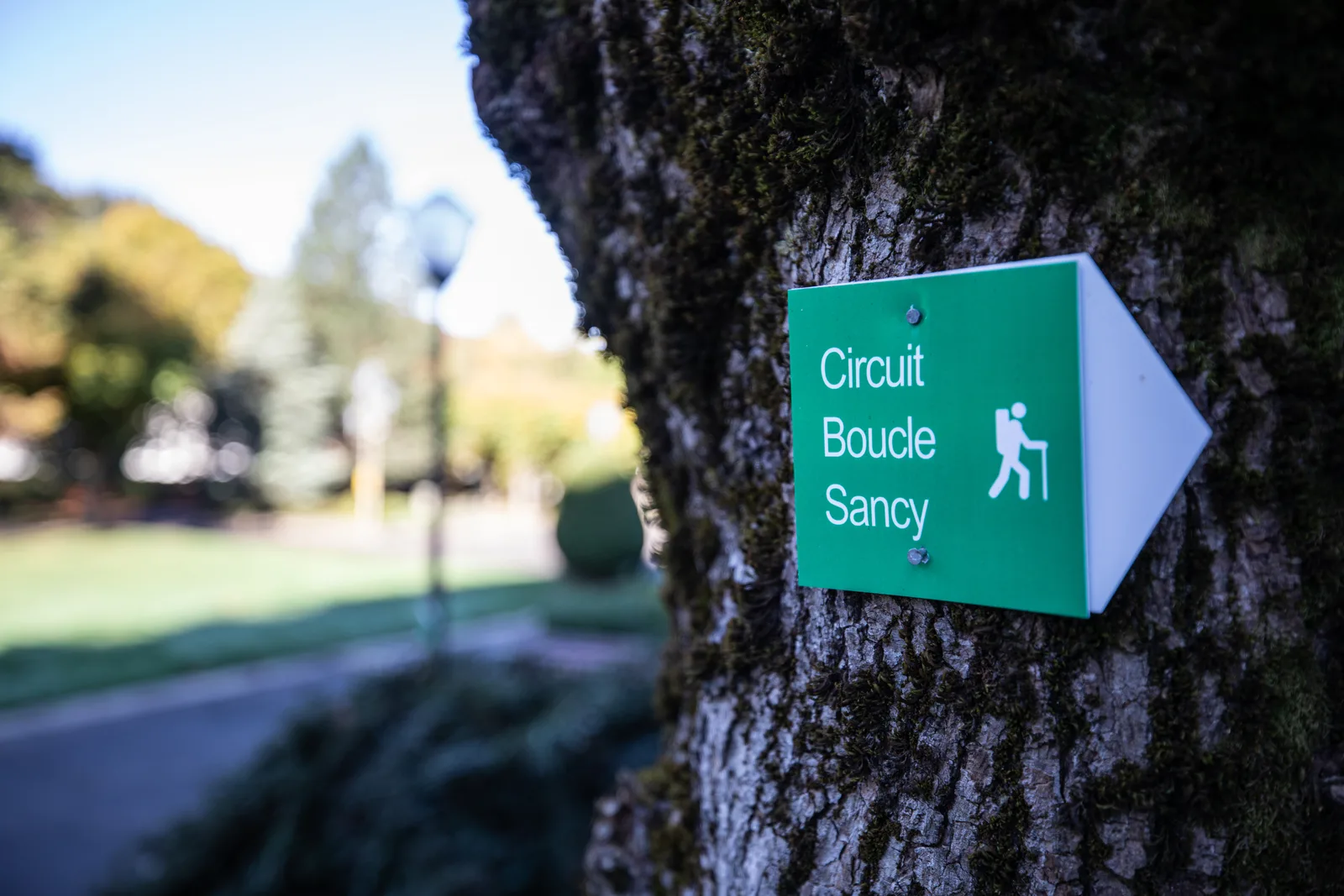
1/ From the departure sign on Avenue de la Libération near the tourist office, go down Avenue de la Libération for 80 m then turn right onto Chemin des Mille Gouttes. Continue going up, ignoring the side paths, to the funicular station. Continue the climb, by road, to the Salon du Capucin.
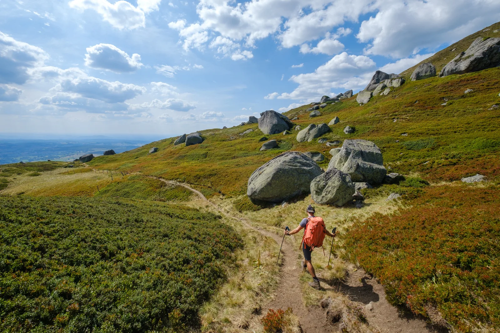
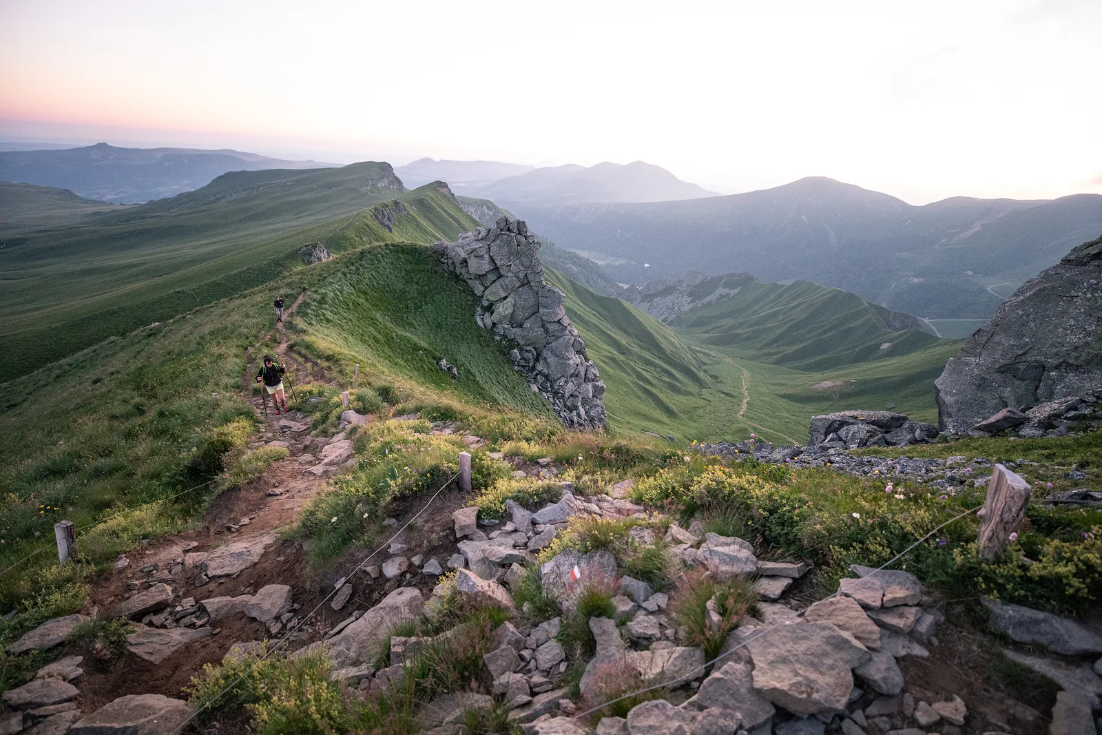
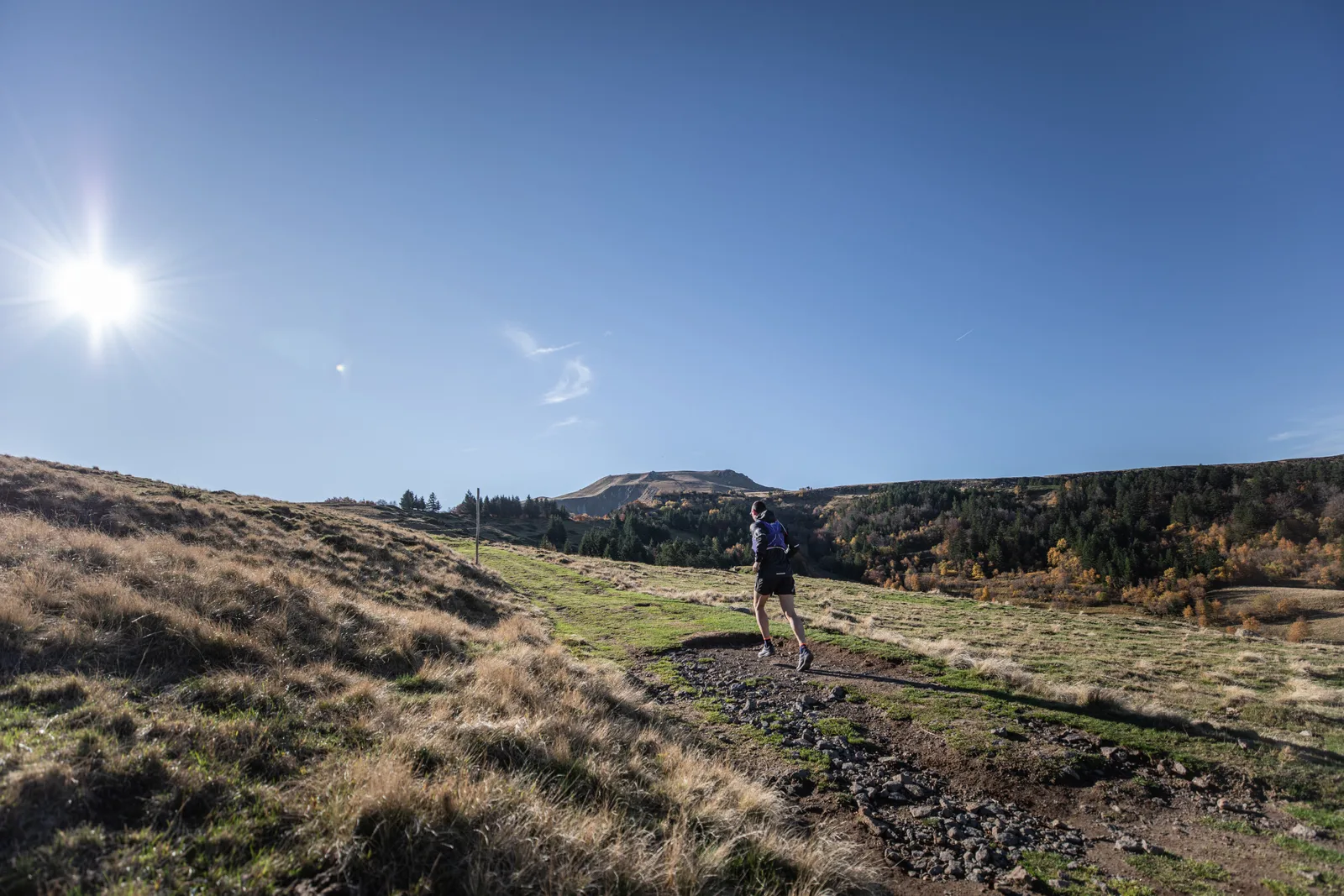
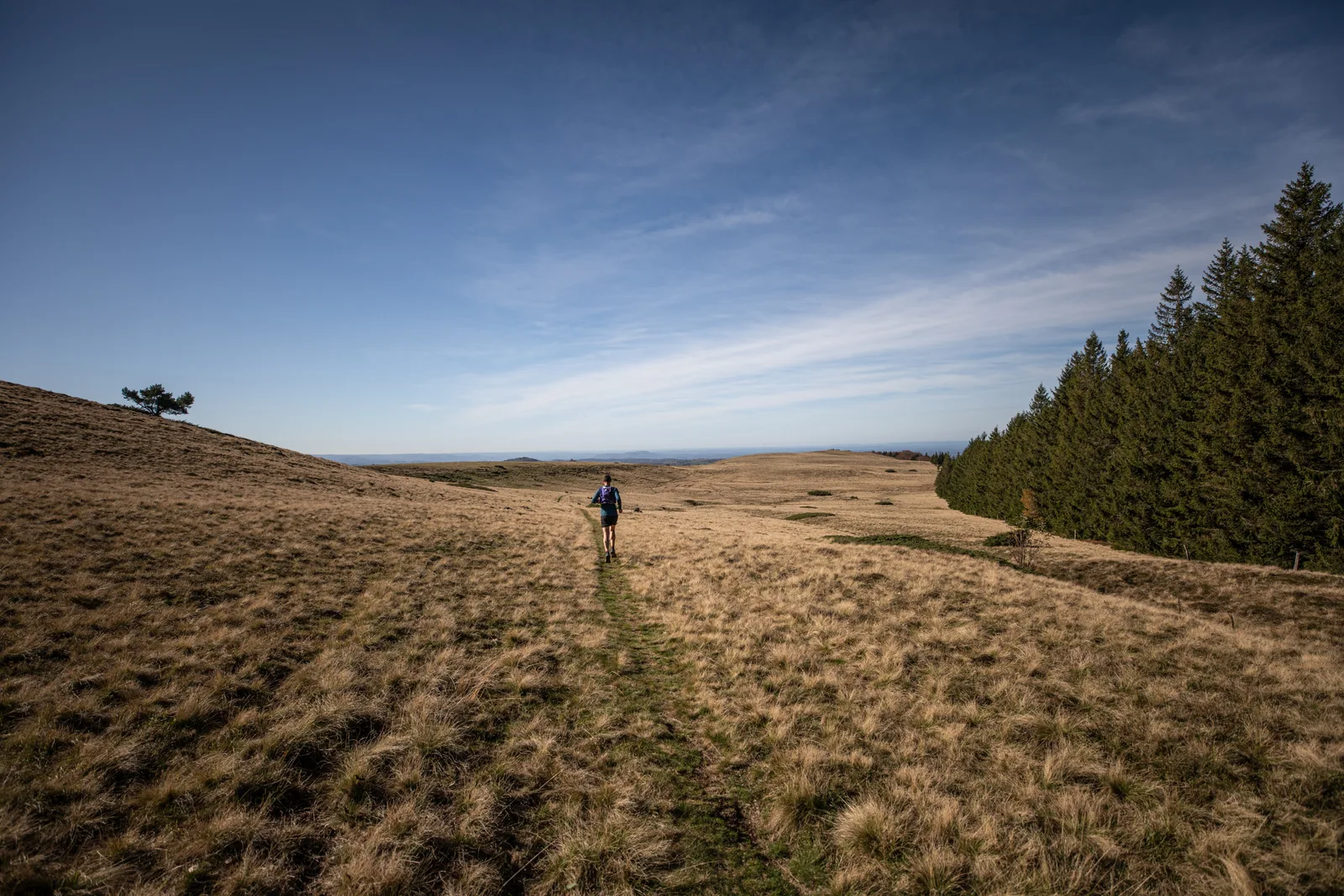
2/ At the restaurant, take the road going up to Buron du Capucin on the left. Cross the fence (off the circuit, 200 m away, the summit of Capucin) and follow the wide path leading to an old quarry. After this, turn left and go up (Chastreix-Sancy nature reserve) to the Puy de Cliergue (view of the Sancy, the glacial valley of Mont-Dore, the Puys chain, the Guéry plateau, the Banne d' Ordanche, the Chastreix plateau, Combrailles). Continue to the Tour Carrée (view of the valley of the Fontaine Salée, Lake Chauvet, the Cantal mountains) then to the Col de Courre.
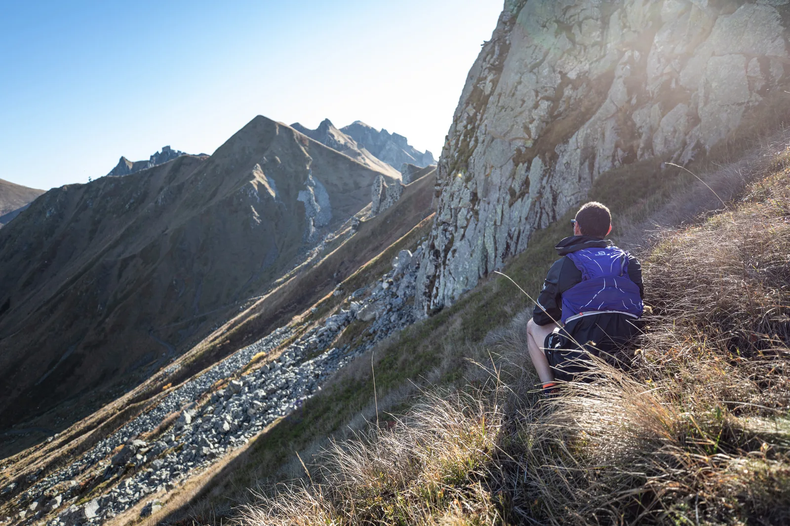
3/ Retrace your steps a little then immediately turn left onto a path progressing above the Cirque de la Fontaine Salée. At the intersection located on a shoulder, go down to the right towards the pylons of 2 ski lifts then follow the “La Chambasse” slope. At the arrival of a ski lift, continue the descent on the right and continue on a wide stony path passing under the ski lifts then emerging onto a road. Take it on the right and cross Chastreix-Sancy. At the end of a large right turn, go down the path on the right. At the crossroads, take the left path towards Chastreix. At the exit of the forest, pass a barrier and continue 50 m until you reach a grassy path.
4/ Go down it to the right towards Chastreix and after 300 m take a better path on the left. Cross the pastures. Go through a barrier and go down to an intersection Click here to type text.
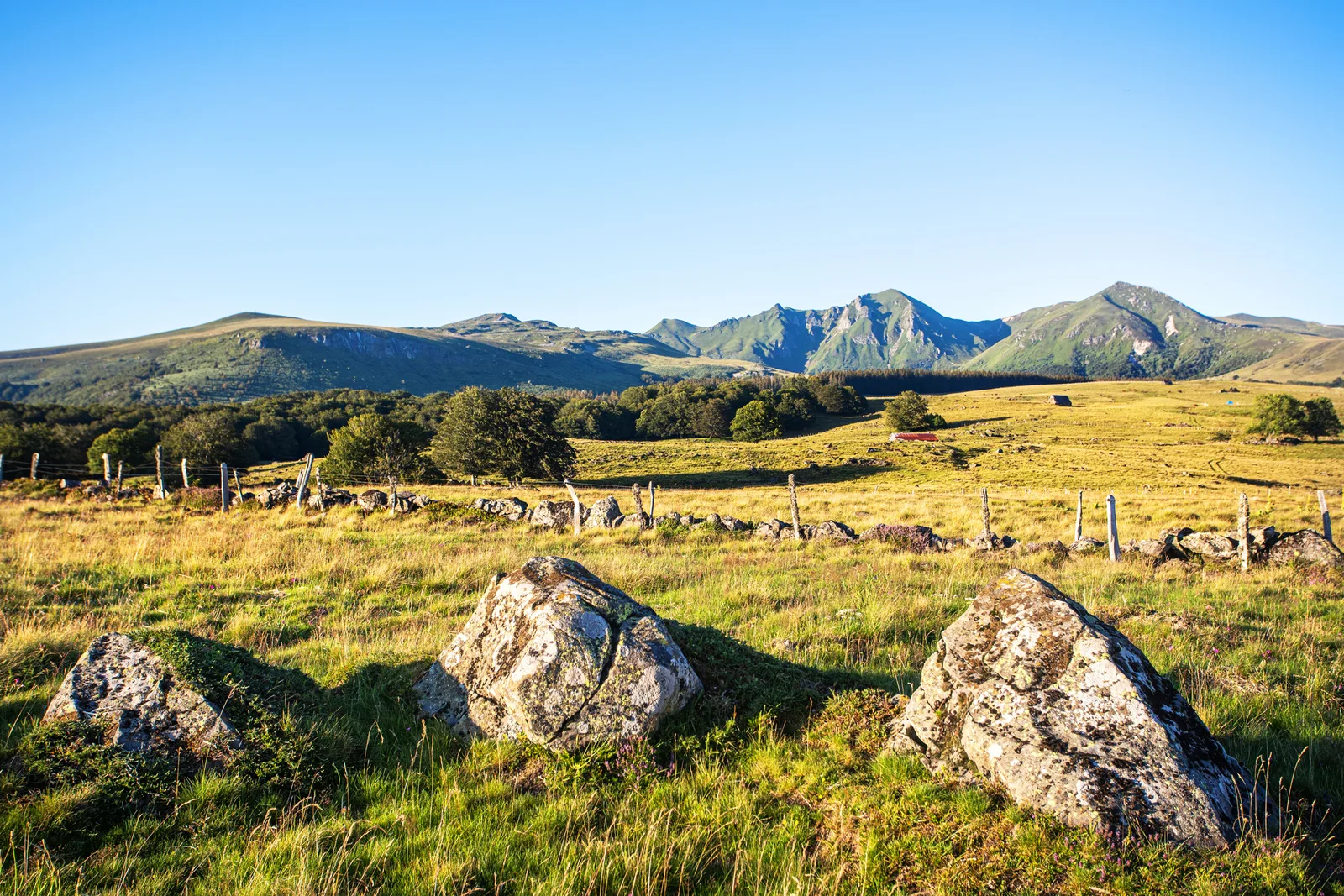
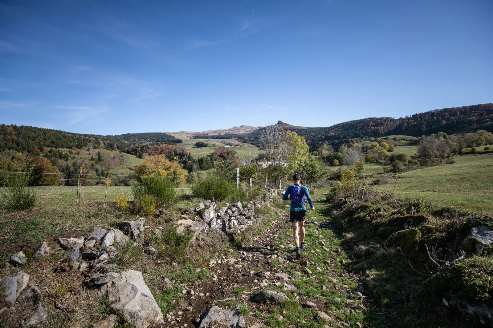
5/ Go down the path on the right. At the road, go up the path on the right. Continue in the forest until you reach a second road (D 88) which you take on the left for 200 m. Turn right towards La Pinderie. (view of the Roc de Courlande, Chastreix-Sancy and in the distance the mountain of Chambourguet, cross and trough). Cross the village. Go opposite on a large stone path becoming grassy. Continue and go down to a T intersection. Turn left then immediately right. Cross a stream then the meadow opposite. Join a path coming from the houses. Cross the bridge over the Jarrige stream then turn left. Follow the stream until the end of the field.
6/ Go up the path on the right. Enter the woods through a metal gate. Go up, ignoring the side paths. (In view of the buron, off-route: path on the right, 15 mins return, to the Crèvecœur waterfall). At the top of the hill, take the path on the right. Cross a stream, join the D88 road, cross it, go up opposite it. At the wide path turn left, continue, then go left again. Cross the car park and turn right onto a wide path. Further left, go down a grassy path. Follow it through the forest until you reach the “Les 4 Départements” crossroads. Go to the right, continue as close as possible to the road then, further on, go down to the parking lot at the side of the road. Head right along the parking lot until you reach the Montagne de la Roche forest road on the left.
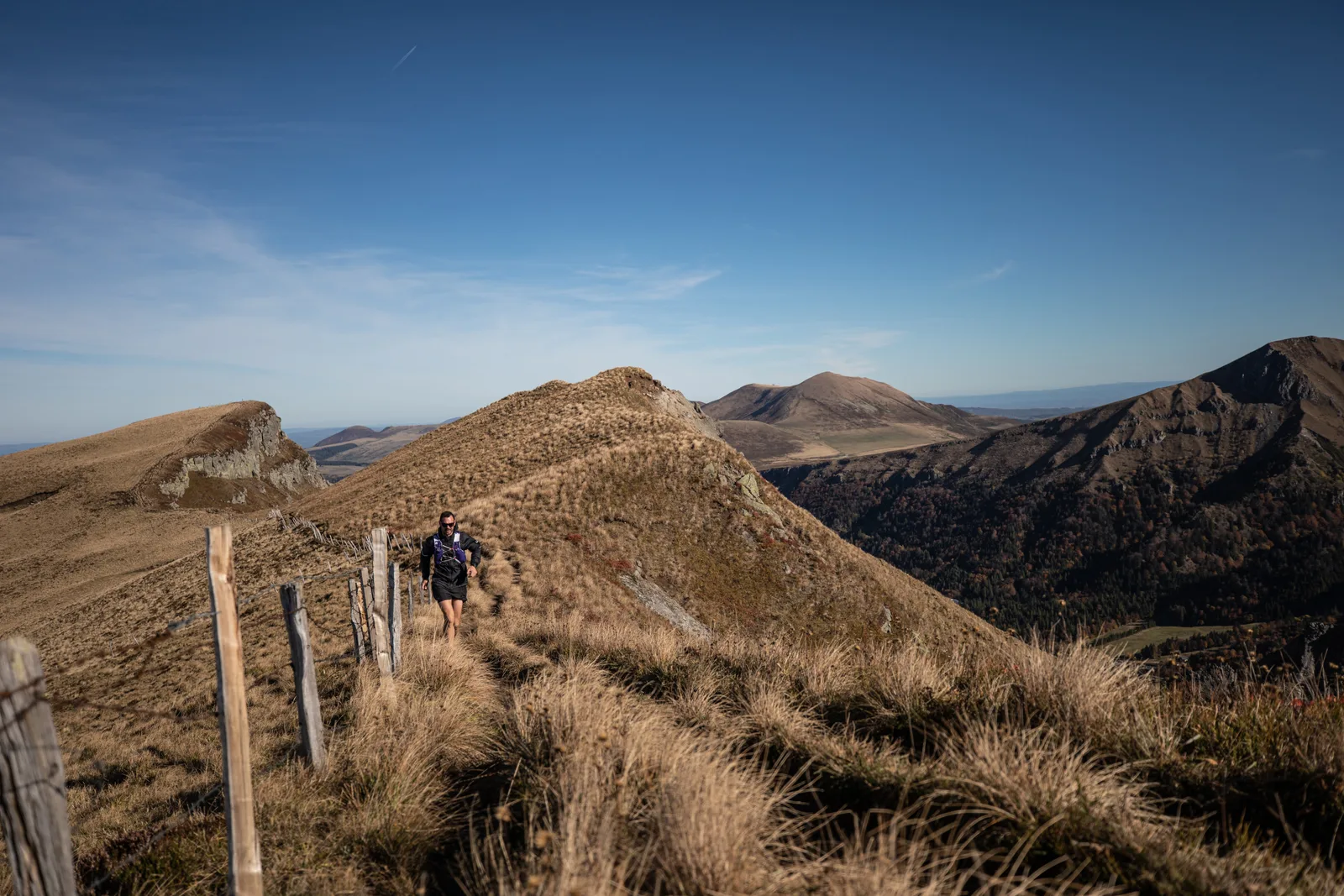
7/ Take it, and after 100m, go up a wide path on the right. Follow it, ignoring the side paths, until you reach a clearing (hut). Continue opposite and go straight on until La Charbonnière. Walk alongside the houses (view of Sancy, Roche Vendeix, Puy Gros, Banne d'Ordanche). At the T-junction go left towards Charlannes. At the intersection after the top of a hill, go down on a forest track. Take the first path on the right and go down opposite the next two intersections. Join a forest track, follow it to the left and go straight on to Charlannes (information panels).
8/ Head right towards La Bourboule, leaving the Reception Area (former funicular) on the left and go down a winding path. Go around the intermediate station of the old funicular on the left. 30 m away, turn right and continue downhill until above the first houses. Take the overhanging path to the right, pass under the funicular track and reach a footbridge. Cross it and go left into Fenestre Park. Follow the path main, pass to the left of a basin and follow the station of the old funicular. At the exit of the park, continue opposite, pass in front of the town hall, cross the bridge over the Dordogne, follow the thermal establishment and turn right on Boulevard Clémenceau. At the church, turn right, cross the bridge and go up towards Parc Fenestre as far as Montée de la Charreyre on the left.
9/ Take it and, at the flat area, turn left, go behind the wash house and go up Chemin de Fenestre on the right. After the end of the road, continue straight (view of the Dordogne valley, Puy Gros, Banne d'Ordanche). At the entrance to Pregnoux, go down the road on the left. In a bend, follow the path on the right and go down the first path on the left. Cross a stream and turn immediately right. After 50 m, go down left to the road. Cross it, cross the bridge over the Dordogne and take a path on the right that runs along the river. Cross the railway line and go up to the village of Genestoux.
10/ Turn right between the houses then left for 10 m, before going down right towards the river. Cross the bridge (Source Félix) and continue to go up the river on the path which runs alongside the railway line. Go back up and continue the path which crosses the river at the Compissade mill. Go along then cross the river again via a wooden footbridge. Cross a small road at the Pont du Marais and continue until you reach a tarmac road crossing the Dordogne again. Go past the police station. Continue on the road rue des chasses alpins then on avenue de la gare. At the T-junction, continue right for 100 m and go down the stairs on the right. Cross the square and go down right towards the station. Pass in front of the station and continue straight on until the crossroads.
11/ Take the tarmac path to the left. At the fork, go left towards the city center. At the roundabout, turn right (rue Sidoine Apollinaire) and turn left in front of the hospital then right (rue Meynadier). Pass the casino then immediately turn right. Go up to the crossroads, turn left and reach the Tourist Office below on the left.
The Sancy ridges are accessible from mid-May. Find out in advance about access conditions from the Sancy tourist offices.
Bring good hiking shoes and warm clothing.
Recommendations from the Nature Reserve:
“In order to protect the exceptional natural heritage, the national nature reserves of Chastreix-Sancy and the Chaudefour valley have specific regulations. Dogs are not allowed, even on a leash, except on GR® trails (red and white markings), and bivouac is prohibited. »
PLEASE NOTE – The list of accommodations is currently being updated.
2024-03-20
2024-05-15
Route details
Description
Departure – Le Mont-Dore, avenue de la Liberation near the tourist office.
From the starting panel, go down Avenue de la Liberation for 80 m then turn right into Chemin des Mille Gouttes. Climb continuously, ignoring the side paths, to the funicular station. Continue the climb, by road, to the Salon du Capucin.
1 – At the restaurant, turn left onto the road going up to Buron du Capucin. Cross the fence (outside the circuit, 200 m, the Capucin summit) and follow the wide path leading to an old quarry. After this, turn left and climb (natural reserve of Chastreix-Sancy) to the puy de Cliergue (view of the Sancy, the glacial valley of Mont-Dore, the Puys chain, the Guéry plateau, the Banne d' Ordanche, the plateau of Chastreix, the Combrailles). Continue to the Tour Carrée (view of the valley of the Salée fountain, the Chauvet lake, the Cantal mountains) then to the Col de Courre.
2 – Retrace your steps a little then immediately turn left on a path progressing above the Cirque de la Fontaine Salée. At the intersection located on a shoulder, go down to the right towards the pylons of 2 ski lifts then follow the track "La Chambasse". At the arrival of a ski lift, continue the descent on the right and continue on a wide stony path passing under ski lifts then emerging on a road. Take it to the right and cross Chastreix-Sancy. At the end of a big right bend, go down the path on the right. At the crossroads, take the left path towards Chastreix. At the exit of the forest, pass a barrier and continue 50 m up to a grassy track.
3 – Go down it to the right towards Chastreix and 300 m further take a better marked path to the left. Cross the pastures. Cross a barrier and go down to an intersection Click here to enter text.
4 –.Go down the path on the right. At the road, go up the path to the right. Continue in the forest until you reach a second road (D 88) which you take to the left for 200 m. Turn right towards La Pinderie. (view of the Roc de Courlande, Chastreix-Sancy and in the distance the mountain of Chambourguet, cross and drinking trough). Cross the village. Go opposite on a large stone path becoming grassy. Continue and go down to a T intersection. Turn left then immediately right. Cross a stream then the meadow opposite. Join a path coming from the houses. Cross the bridge over the Jarrige stream then turn left. Follow the stream to the end of the field.
5 – Go up the path on the right. Enter the woods through a metal barrier. Go up, ignoring the side paths. (In view of the buron, off-route: path on the right, 15 mins return, to the Crèvecœur waterfall). At the top of the hill, take the path on the right. Cross a stream, join the D88 road, cross it, go up opposite it. At the wide path turn left, continue, then go left again. Cross the car park and turn right onto a wide path. Further left, go down a grassy path. Follow it through the forest until you reach the “Les 4 Départements” crossroads. Go to the right, continue as close as possible to the road then, further on, go down to the parking lot at the side of the road. Head right along the parking lot until you reach the Montagne de la Roche forest road on the left.
6 – Take it, and after 100m go up a wide path to the right. Follow it ignoring the side paths until you reach a clearing (hut). Continue opposite and go straight to La Charbonnière. Go along the houses (view of the Sancy, the Roche Vendeix, the Puy Gros, the banne d'Ordanche). At the T-junction go up to the left towards Charlannes. At the intersection after the top of a hill, go down on a forest track. Fork on the first path to the right and go down opposite the two following crossings. Join a forest track, follow it to the left and go straight to Charlannes (information panels).
7- Head right towards La Bourboule, leaving the Espace d'Accueil (former funicular) on the left and go down a winding path. Go around the intermediate station of the old funicular on the left. 30 m further on, turn right and continue downhill to the top of the first houses. Take the overhanging path to the right, pass under the funicular track and reach a footbridge. Cross it and go left into the Fenestre park. Follow the path main road, pass to the left of a basin and walk along the station of the old funicular. At the exit of the park, continue opposite, pass in front of the town hall, cross the bridge over the Dordogne, walk along the spa establishment and turn right on boulevard Clémenceau At the church, turn right, cross the bridge and go up towards Parc Fenestre as far as Montée de la Charreyre on the left.
8- Take it and, on the flat surface, turn left, pass behind the wash house and go up the Chemin de Fenestre on the right. After the end of the road, continue straight (view of the Dordogne valley, the Puy Gros, the banne d'Ordanche). At the entrance to Pregnoux, go down the road on the left. In a bend, follow the path on the right and go down the first path on the left. Cross a stream and turn immediately right. After 50 m, descend to the left to the road. Cross it, cross the bridge over the Dordogne and take a path on the right that runs along the river. Cross the railway line and climb up to the village of Genestoux.
9- Turn right between the houses then left for 10 m, before going down to the right towards the river. Cross the bridge (Source Félix) and continue to go up the course of the river on the path that runs along the railway line. Go up and continue the path that crosses the river at the Compissade mill. Walk along then cross the river again via a wooden footbridge. Cross a small road at the Marais bridge and continue to a tarmac road crossing the Dordogne again. Pass in front of the gendarmerie. Continue on the rue des chasseurs alpins road then on the avenue de la gare. At the T-junction, continue to the right for 100 m and go down the stairs on the right. Cross the square and go down to the right towards the station. Pass in front of the station and continue straight until the crossroads.
10- Take the tarmac path to the left. At the fork, go left towards the city center. At the roundabout, turn right (rue Sidoine Apollinaire) and turn left in front of the hospital then right (rue Meynadier). Pass the casino then immediately turn right. Go up to the crossroads, turn left and reach the Tourist Office below on the left.