


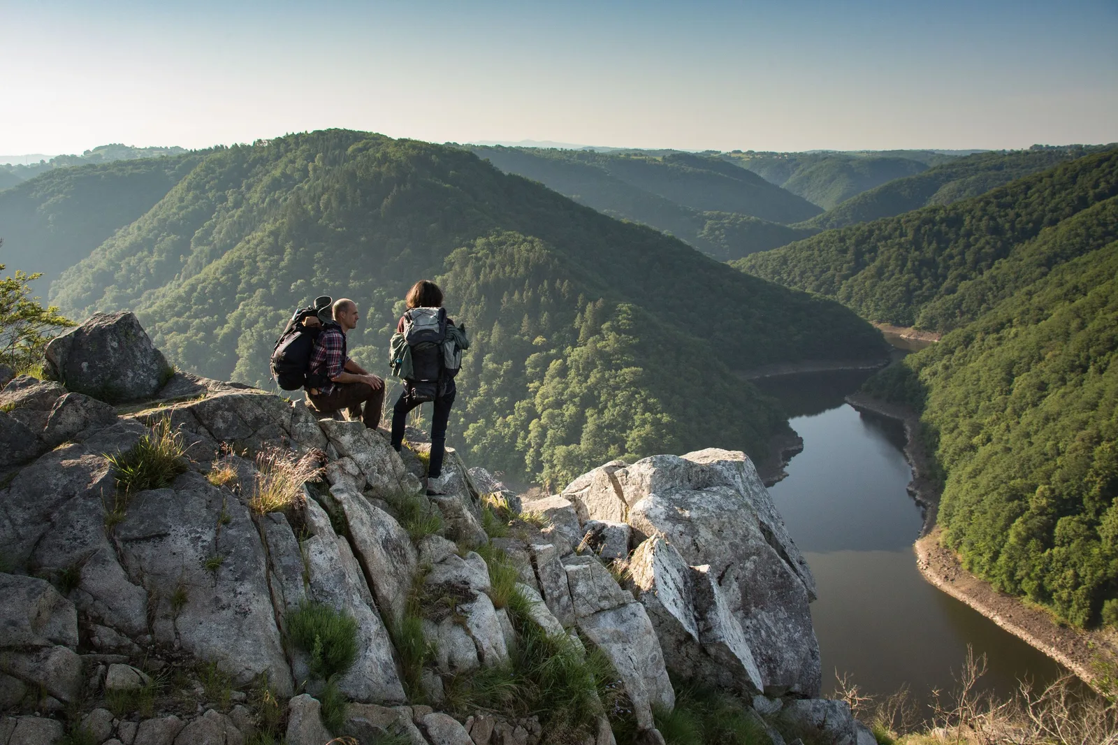

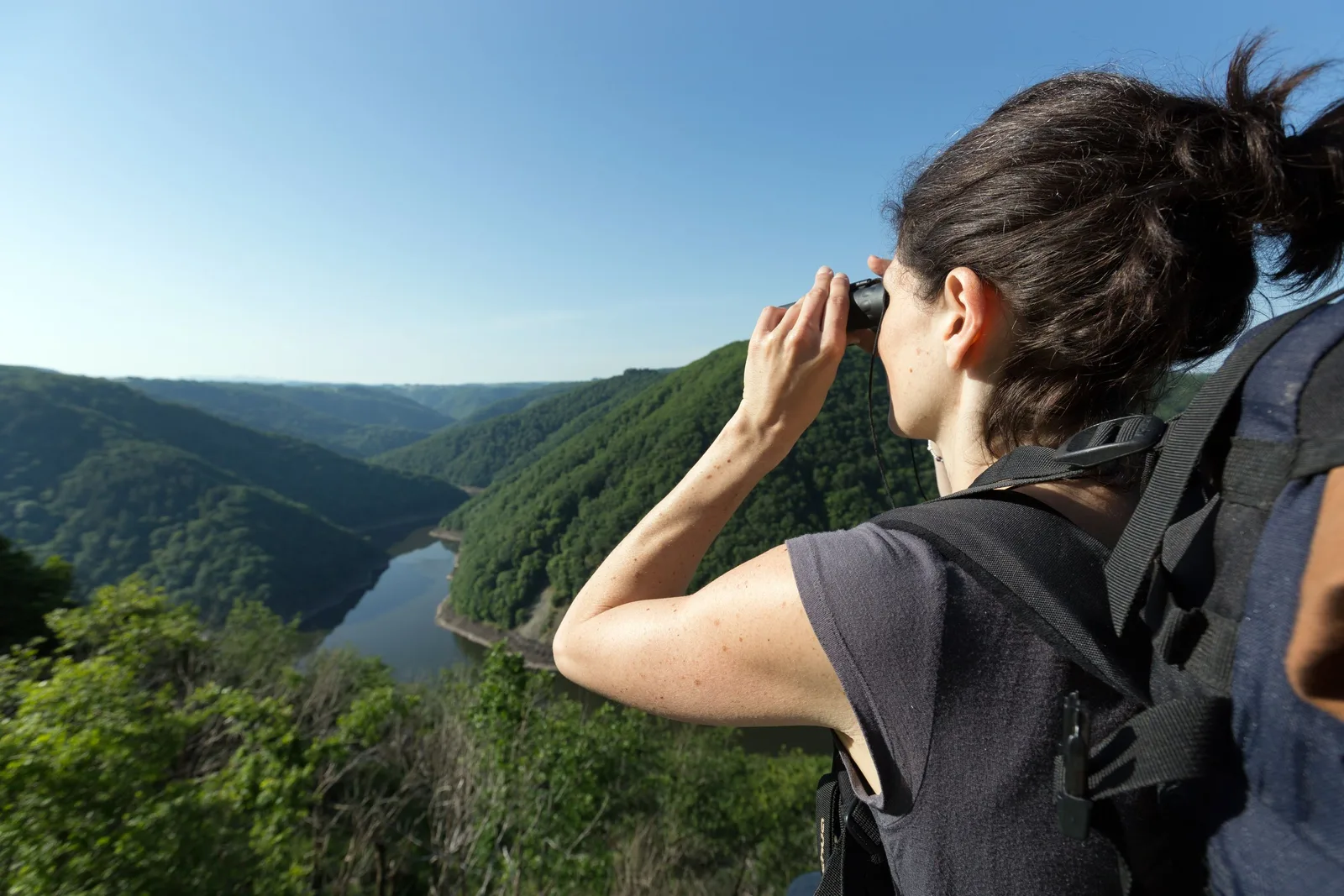
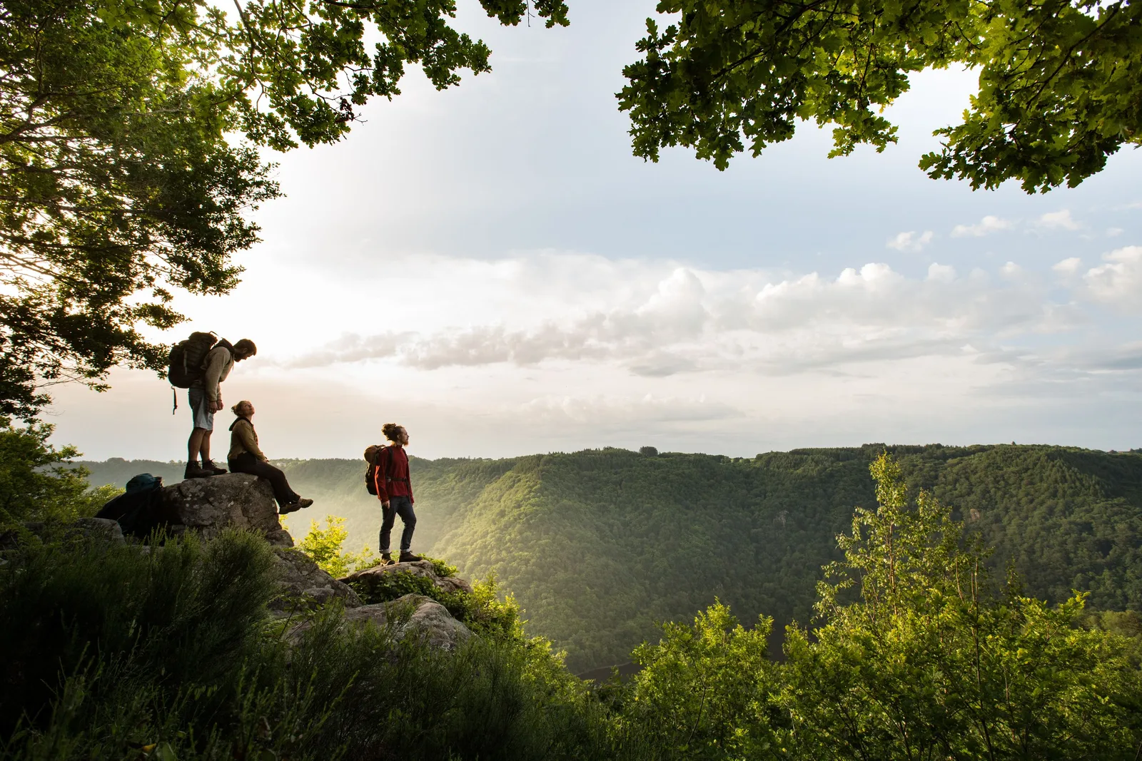
The itinérêve is a 430 km loop in the Gorges de la Dordogne crossing Puy-de-Dôme, Cantal and Corrèze. Walk from villages to dams in a wild territory where breathtaking views follow one another.
Tips and Suggestions
– Multiple possibilities to create a tailor-made stay thanks to connections via bridges & dams (2 days, 5 days, 10 days or more… Everything is possible!)
– A host present all year round to help you organize your stay (free)
– A topoguide & a mobile application from Belles Balades editions
Route details
Description
Marked and maintained by an association of enthusiasts.
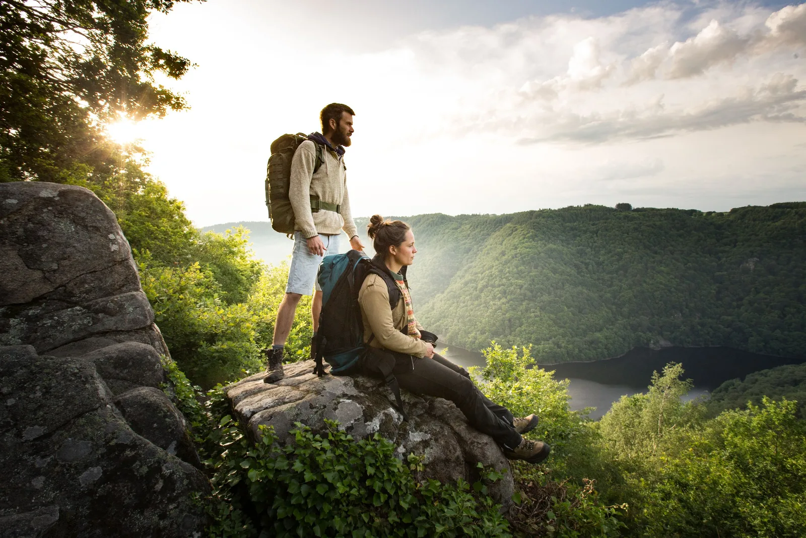
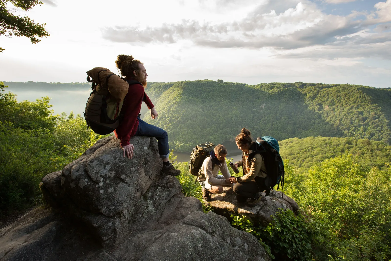
You may meet them on the way. Alain, Bernard, Marie-Hélène, Annabelle, Jean-Michel, Philippe and the other enthusiasts of the La Dordogne de Villages en Barrages association always take as much pleasure in walking the trails of the "Itinérêve", a 420 kilometer route. which they designed, fitted out and then opened to the public in 2015 for the right bank and in 2023 for the left bank. The history of this path takes us back to the 1930s and 1950s, when five hydroelectric dams were built in the Upper Dordogne Valley, between Bort-les-Orgues and Argentat. As the river becomes a lake upstream of the dams, some villages disappear under the waters, and the shepherds lead their flocks to other hills.
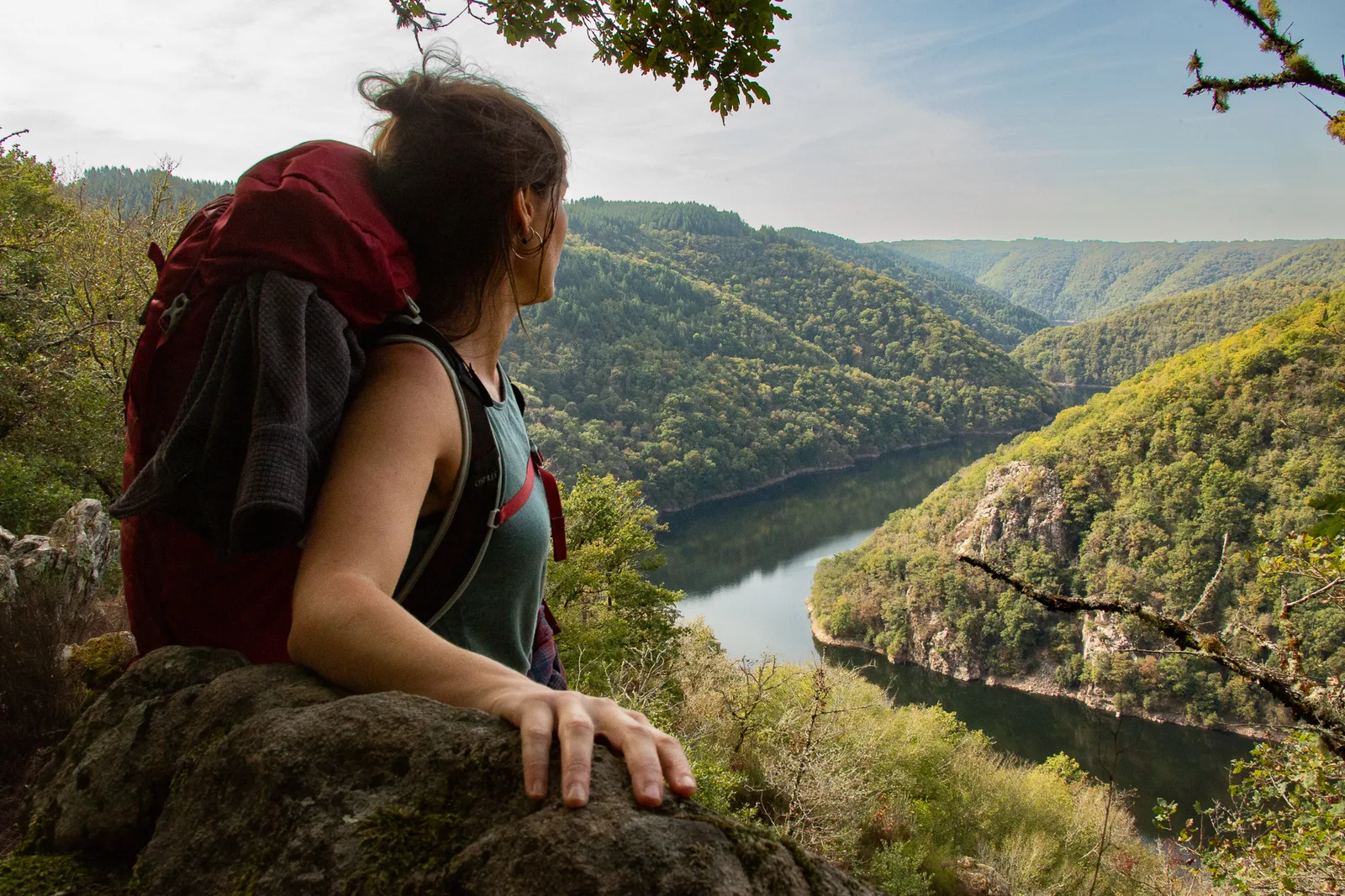
Where pastoralism recedes, the forest is reborn. Returned to nature, the territory becomes wild again. It is today the largest forest corridor in metropolitan France, classified as a biosphere reserve by UNESCO. All that was missing was a beautiful hiking trail to cross it!
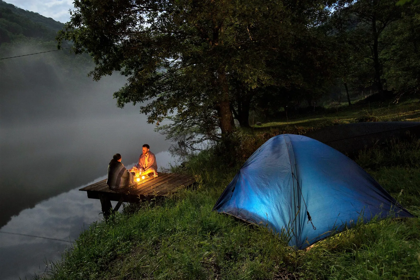
A route in 15 days of walking on the right bank from Confolent-Port-Dieu to Argentat-sur-Dordogne, then 15 days of walking in the other direction on the left bank, from Argentat-sur -Dordogne up to Singles. Connections from one bank to the other also make it possible to carry out loops of a few days. The markup is recent and regularly maintained. All you have to do is prepare your bag!
You may meet them on the way. Alain, Bernard, Marie-Hélène, Annabelle, Jean-Michel, Philippe and the other enthusiasts of the La Dordogne de Villages en Barrages association always take as much pleasure in walking the trails of the "Itinérêve", a 420 kilometer route. which they designed, fitted out and then opened to the public in 2015 for the right bank and in 2023 for the left bank. The history of this path takes us back to the 1930s and 1950s, when five hydroelectric dams were built in the Upper Dordogne Valley, between Bort-les-Orgues and Argentat. As the river becomes a lake upstream of the dams, some villages disappear under the waters, and the shepherds lead their flocks to other hills.
Where pastoralism recedes, the forest is reborn. Returned to nature, the territory becomes wild again. It is today the largest forest corridor in metropolitan France, classified as a biosphere reserve by UNESCO. All that was missing was a beautiful hiking trail to cross it!
A route in 15 days of walking on the right bank from Confolent-Port-Dieu to Argentat-sur-Dordogne, then 15 days of walking in the other direction on the left bank, from Argentat-sur -Dordogne up to Singles. Connections from one bank to the other also make it possible to carry out loops of a few days. The markup is recent and regularly maintained. All you have to do is prepare your bag!