


Loop of 114 kilometers, the GR®441 makes us discover in six days the famous volcanoes of the Chaine des Puys: a group of volcanoes located in the Regional Natural Park of the Volcanoes of Auvergne to the west of Clermont-Ferrand.
Tips and Suggestions
– Possibility of opting for a short version (3 or 4 days), via the Col de Ceyssat / Olby (GR® 441 A) or Récoleine / Olby GR® 441 B junctions), favoring the northern part or the southern part of the Puys chain.
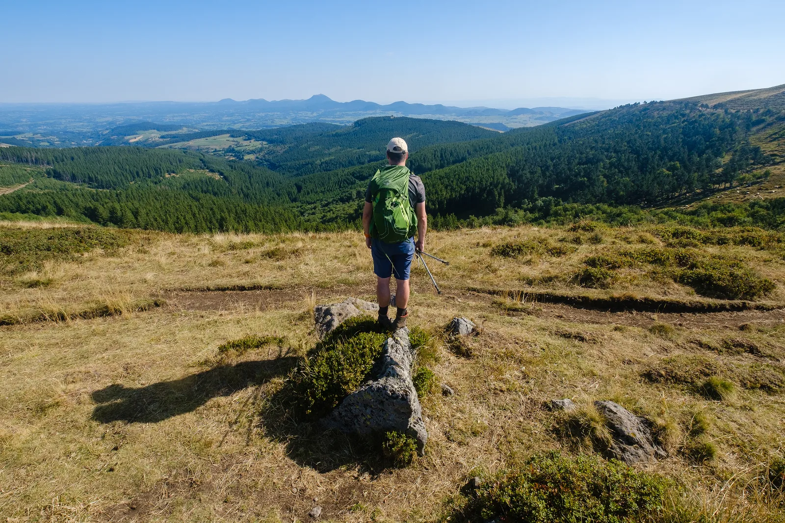
– Summer and winter, the Chaîne des Puys – Limagne fault offers breathtaking landscapes.
Route details
Description
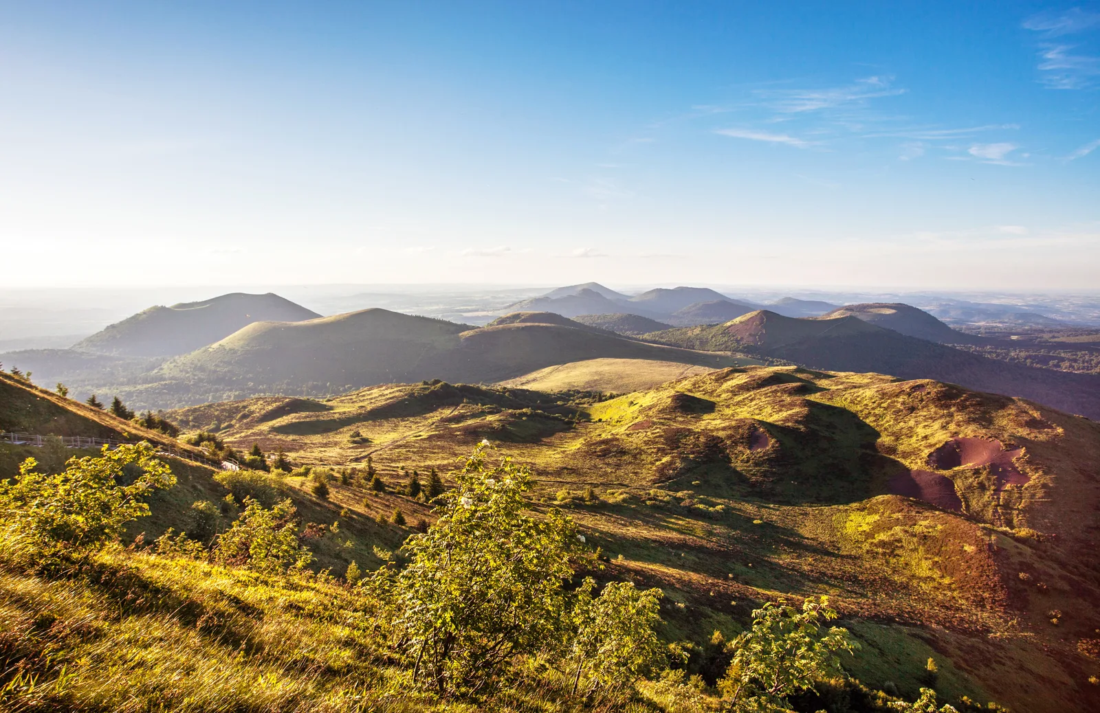
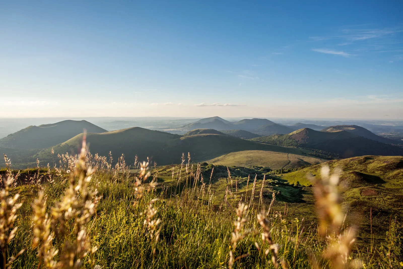
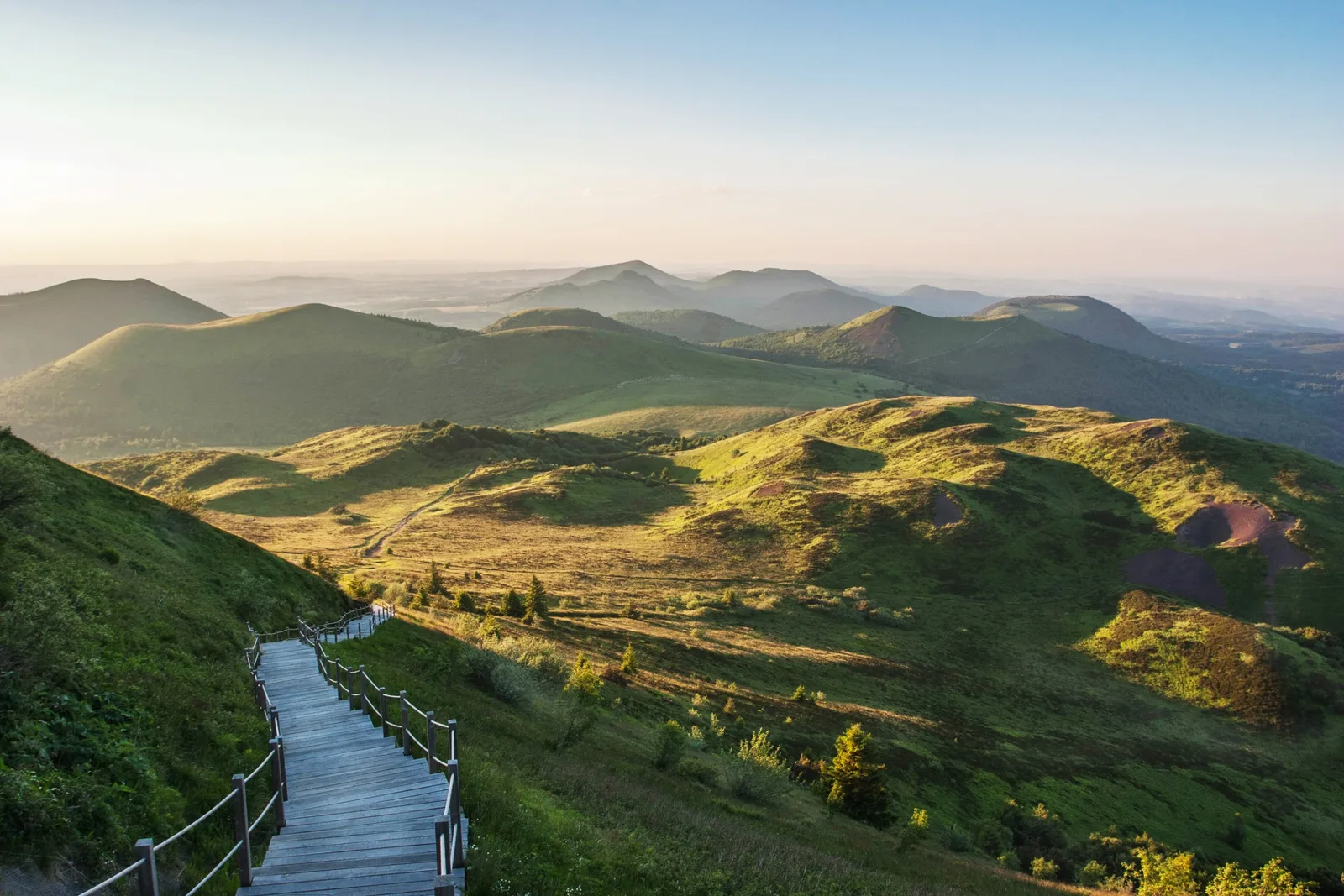
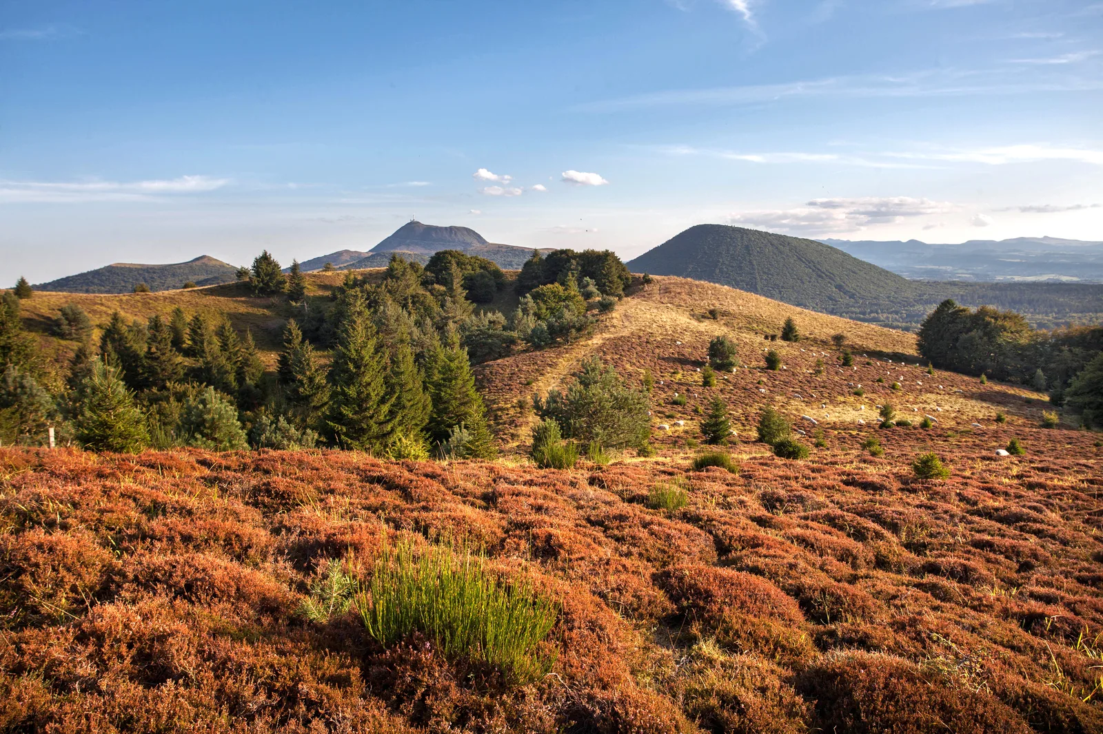
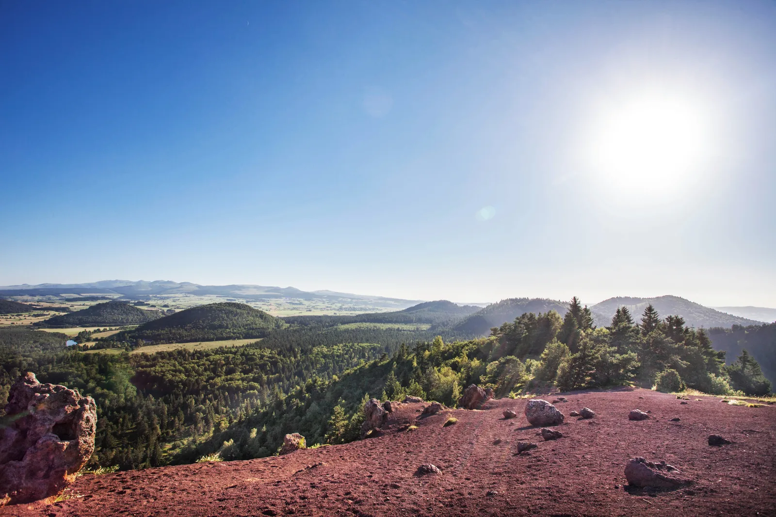
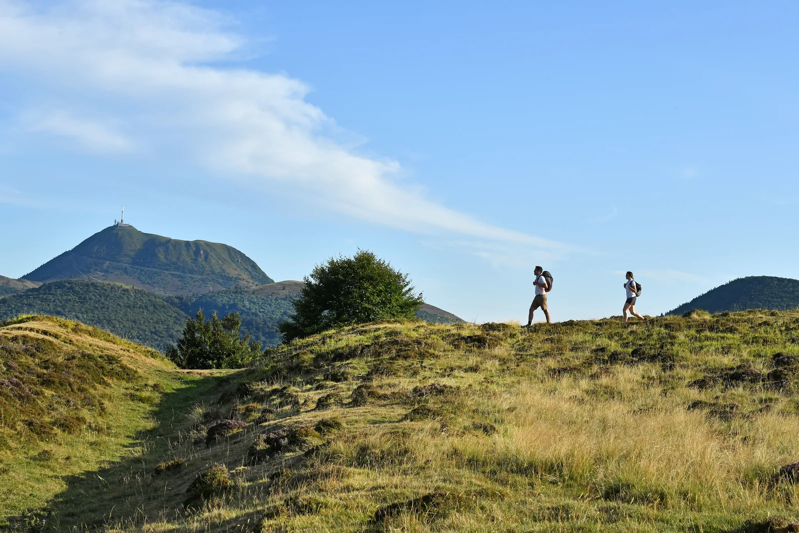
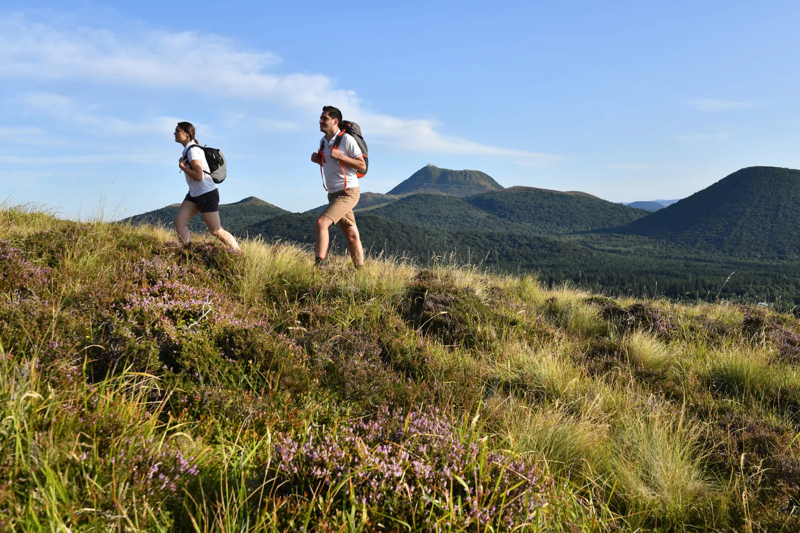
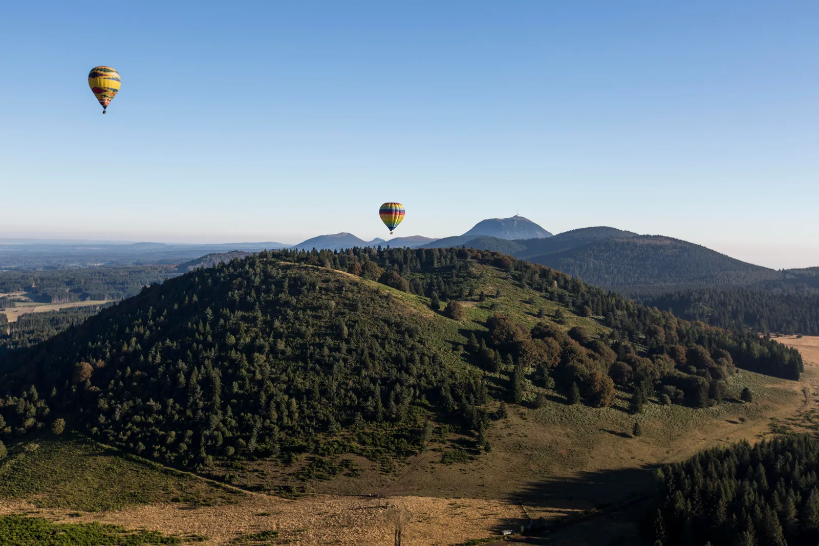
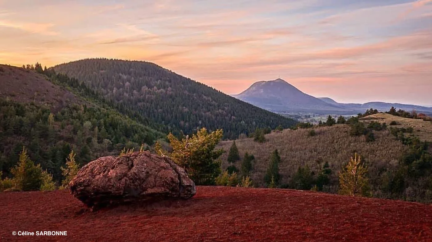
Departing from Volvic in the North via Vulcania and the summit of the Puy de Dôme, we discover the sumptuous landscapes formed by these craters that one would think were still active.
It is a millennial landscape that opens up to us. It is however the youngest volcanic unit of Auvergne. This route reveals 80 volcanoes with various characteristics and very distinct crater shapes (circular, jagged, nested).
We can also admire a maar, volcanic lake (Lac de Servières) created by the dynamic encounter between a column of lava and water. The route also shares know-how, history and artistic talents.
“The blue gold of volcanoes”, witness to the radiant springs are explained to us at the Maison de la Pierre and at the Volvic springs. More than ten natural mineral waters are collected and bottled in the department. This heritage perfectly describes the world of quarry workers, sculptors and lava enamellers. Trachyandesitis is omnipresent on the course. Used since the 13th century in large works (Clermont-Ferrand cathedral) or for more artistic purposes (the works of Thierry Courtadon punctuate the landscape).
Finally, the historical past is represented by the Temple of Mercury, the largest mountain sanctuary in Roman Gaul (2nd century) or by the basilica of Orcival which shines the light of Romanesque art.