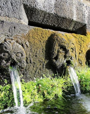
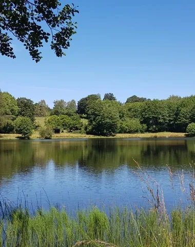
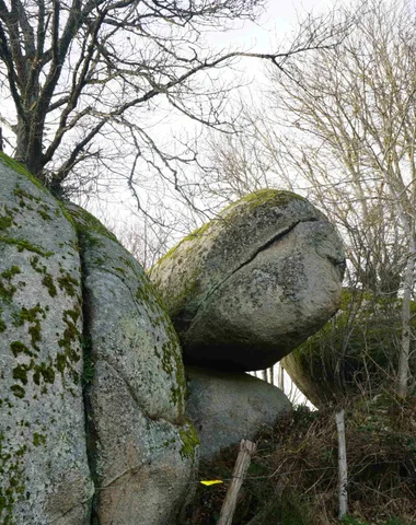
Many walks allow you to discover the ponds, the Say waterfall or the shaky rock. Try to make it move, it is said that it would be placed on a whirlwind of gold!
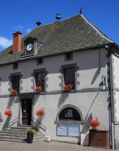
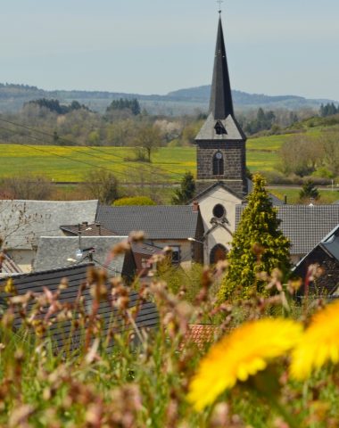
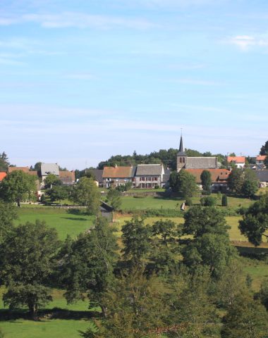
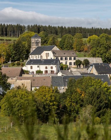
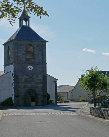
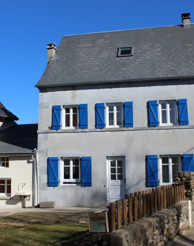
The village of Gelles
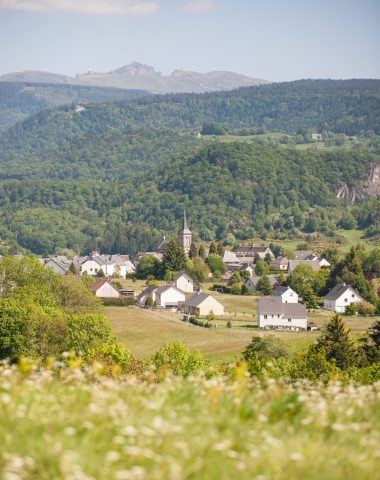
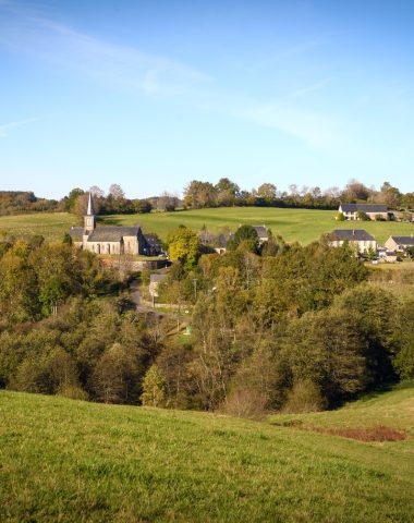
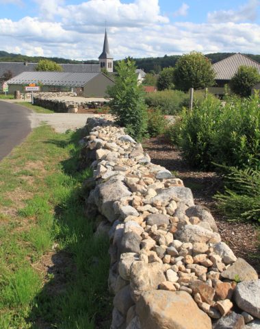
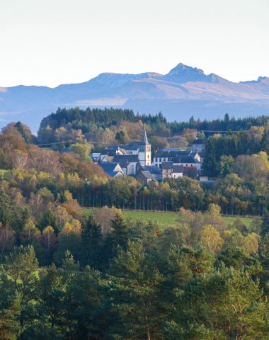
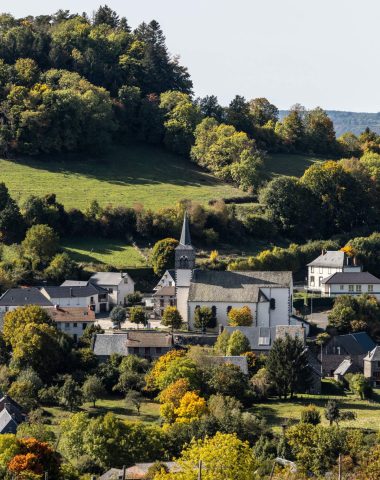
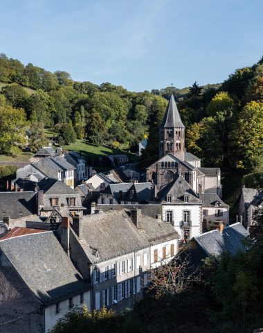
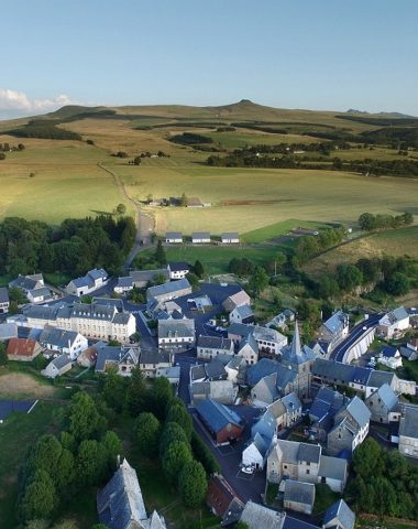
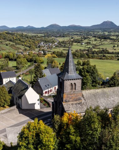
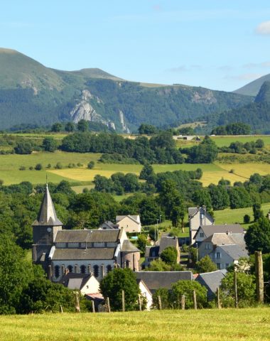
This village of about 1000 inhabitants is located at an altitude of 850 m. Initially grouped around the church, the town then developed along communication routes. It thus occupies the center of the land, predominantly bocagère, bordered by deep valleys, the various hamlets forming a crown. Its plateau, made up of granite rocks, is dotted with well-defined volcanic peaks (Puy de Banson 1040 m, Puy de la Vialle 970 m, etc.).
Morphologically very different from the Olby basin, it forms a transition with the Pays des Combrailles, to the west, which it approaches. Gelles, whose name could come from the Germanic "haga" which means "hedge", provided important Gallo-Roman remains: brick tombs, medals, vases and funerary urns which were found near the town.
The town was a seigniory which belonged jointly to the lord of Banson and to the abbey of Saint-Alyre de Clermont.
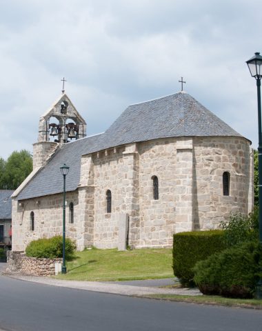
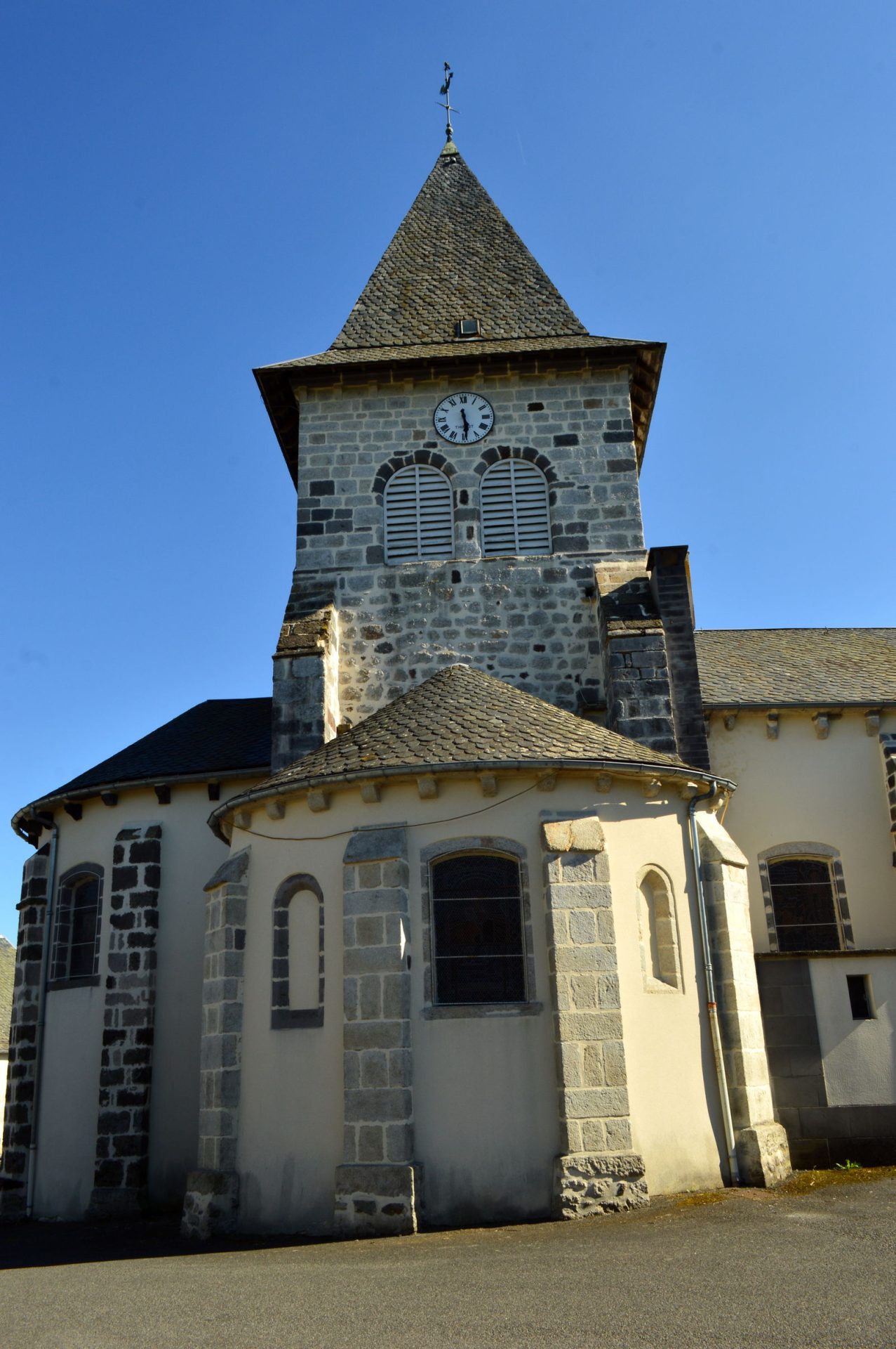
In 1789, the village was almost completely destroyed by fire and its church was seriously damaged.
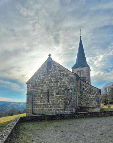
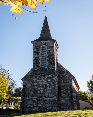
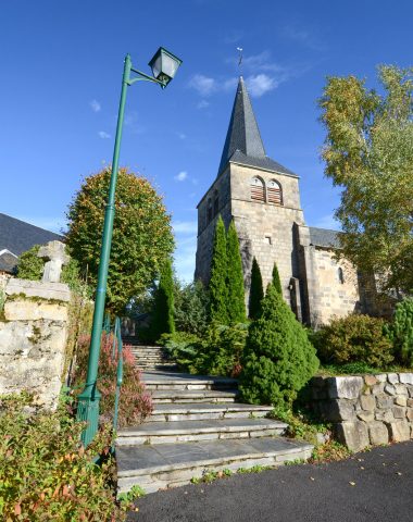
The construction of this church, under the name of Saint-Georges, dates back to the Romanesque period. On the door of one of the chapels, an escutcheon bearing the "massacre" of the lords of Banson, suggests that this chapel belonged to them.
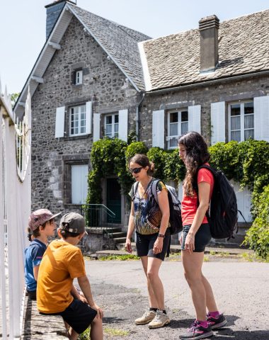
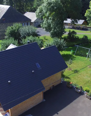
Your stay in Gelles
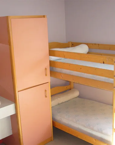
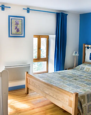
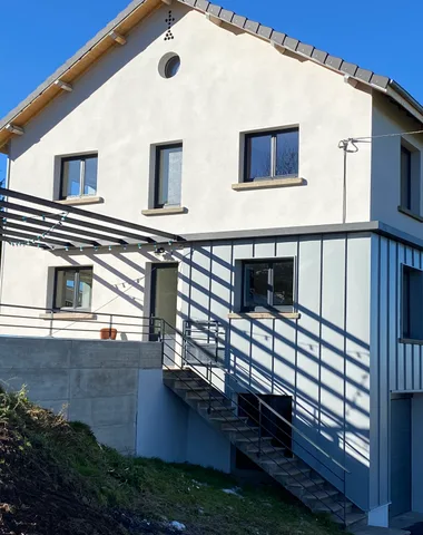
Accommodation in Gelles
Shops and services in Gelles


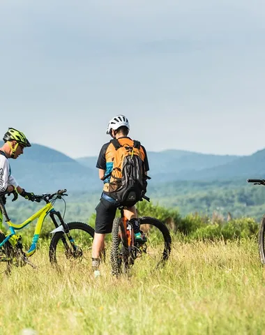
Idea(s) for hikes to do near Gelles

Village map
Discover more
Our other towns.