


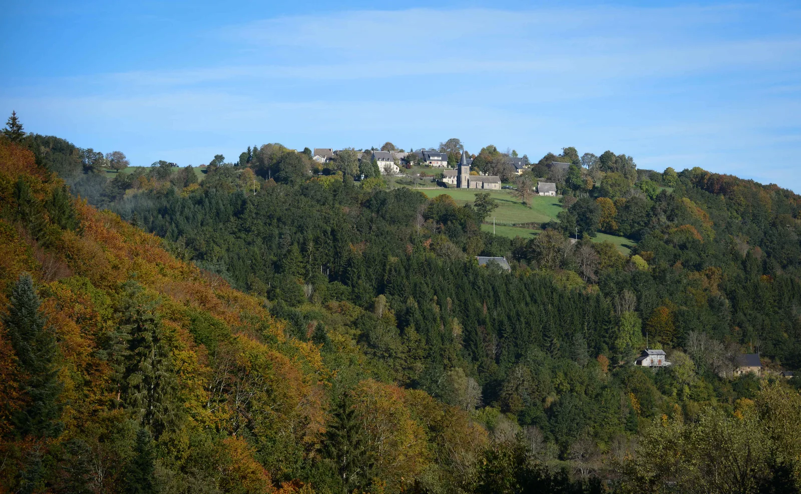
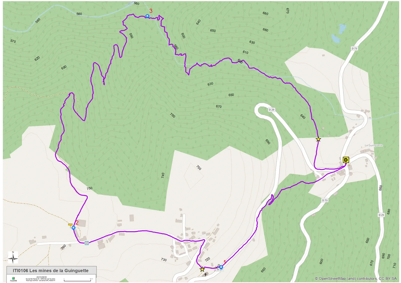
1/ From the start sign, cross the road and continue on the D29 (direction Singles). At a stele, take the street on the left which, 100 m further on, turns into a path. Climb the slope then turn left on the road until you reach the entrance sign to the village of Singles.
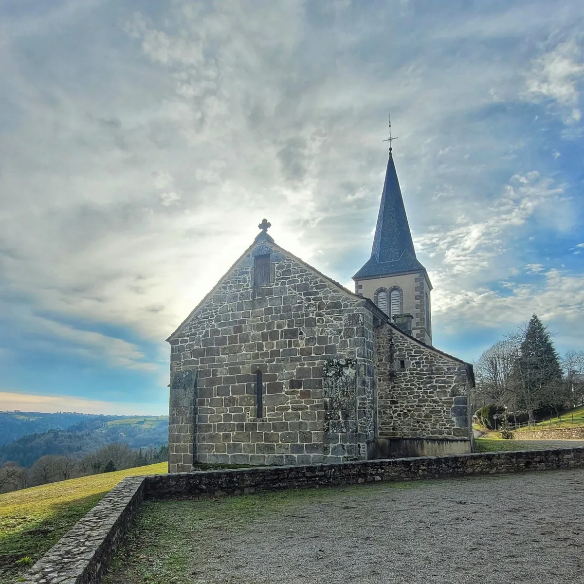
2/ Take the street on the right. Leave the church (PP1) on the left, the town hall on the right then two houses on the left with adjoining bread ovens. At the exit at the top of the village, take a road opposite for 300 m. (PV1: viewpoint over the Burande gorges and, in the distance, the Sancy and the Dore mountains) up to an intersection at a farm.
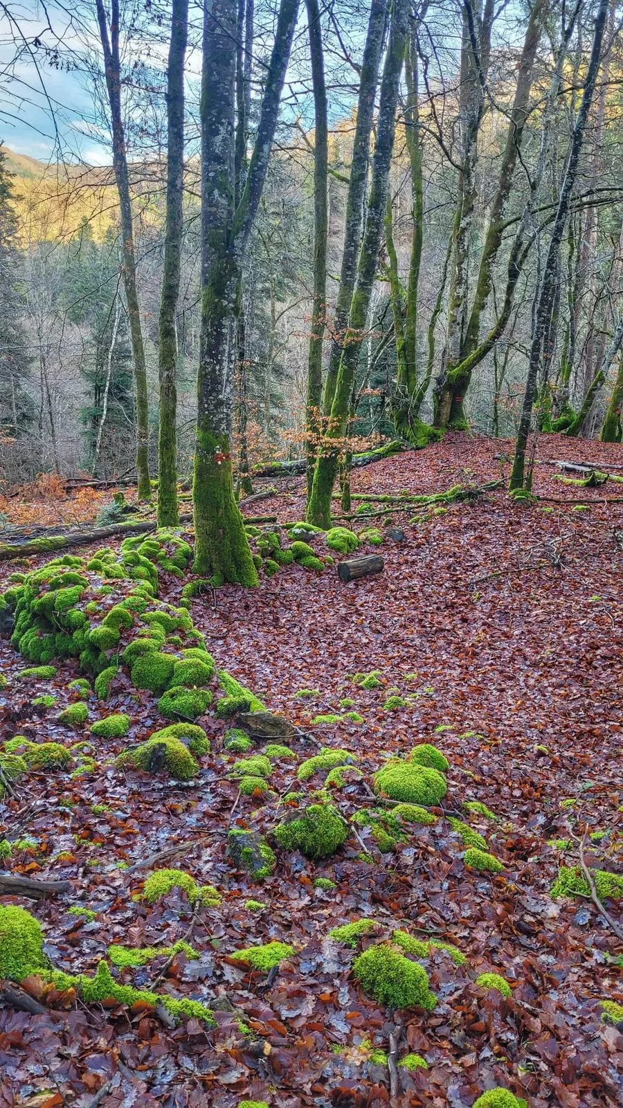
3/ Take the path on the right for 20 m and then right again. After a left turn, go down into the beech forest until the T-junction (forestry works). Head right and, at the next intersection, go down. At the next two intersections, turn right successively, then left and progress along the path. Reach a small clearing and turn left onto a very steep path until you reach a stream.
4/ Follow its course to the right for 20 m, cross it and take a damp path on the left bank which moves away from the street and widens. At a fork, go right (200 m, PP2 from lignite outcrops) (departmental signs) and join La Guinguette.
Route details
Description
Departure: from the start sign, cross the road and continue on the D29 (direction Singles). At a stele, take the street on the left which, 100 m further on, turns into a path. Climb the slope then turn left on the road until you reach the entrance sign to the village of Singles.
1 – Take the street on the right. Leave the church (PP1) on the left, the town hall on the right then two houses on the left with adjoining bread ovens. At the exit at the top of the village, take a road opposite for 300 m. (PV1: viewpoint over the Burande gorges and, in the distance, the Sancy and the Dore mountains) up to an intersection at a farm.
2 – Take the path on the right for 20 m and then right again. After a left turn, go down into the beech forest until the T-junction (forestry works). Head right and, at the next intersection, go down. At the next two intersections, turn right successively, then left and progress along the path. Reach a small clearing and turn left onto a very steep path until you reach a stream.
3 – Follow its course to the right for 20 m, cross it and take a wet path on the left bank which moves away from the street and widens. At a fork, go right (200 m, PP2 from lignite outcrops) (departmental signs) and reach La Guinguette.