


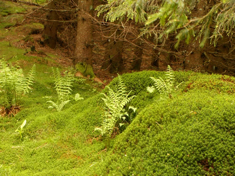
– Fir and beech forests.
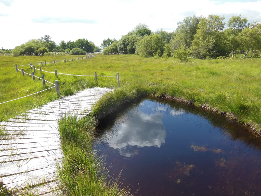
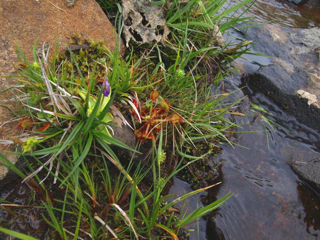
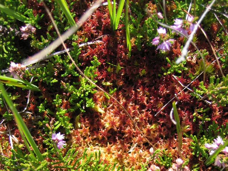
– The Jouvion peat bog.
– Sensitive Natural Areas.
– Panorama of the Puy du Sancy and the Cantal mountains.
– View of the Puy du Sancy.
– Nearby: the salt fountain valley (Chastreix).
1/ From the departure sign, next to the church, follow the D88 for 200 m; take the path on the left between the houses and follow a path lined with low walls. Cross a stream and a fence. Go up opposite, for 50m, in a pasture then head left and cross the hedge of trees (alders). Go straight up into an unexploited field (ferns). On the flat area, continue straight towards the woods then turn right and go down to a stepladder.
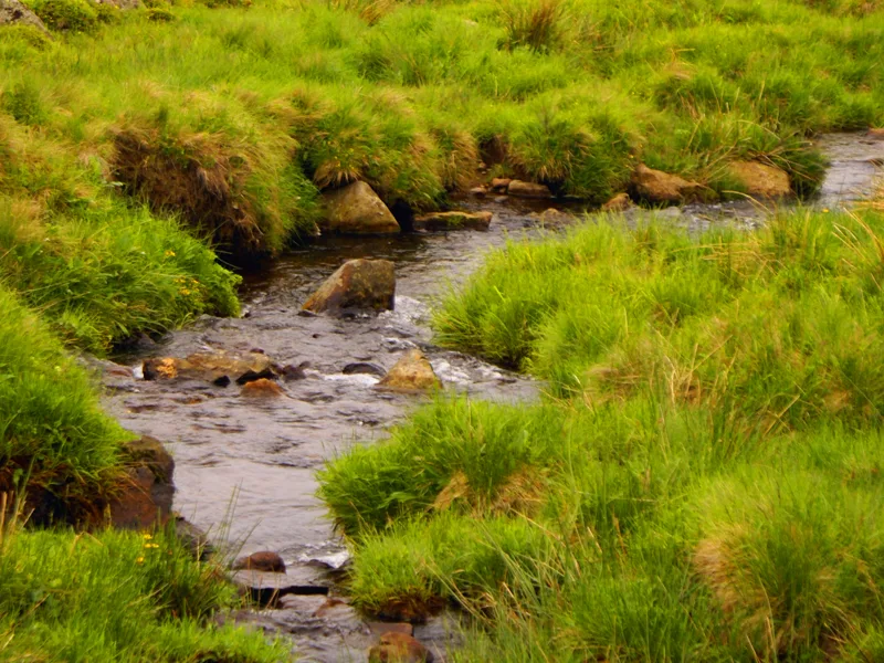
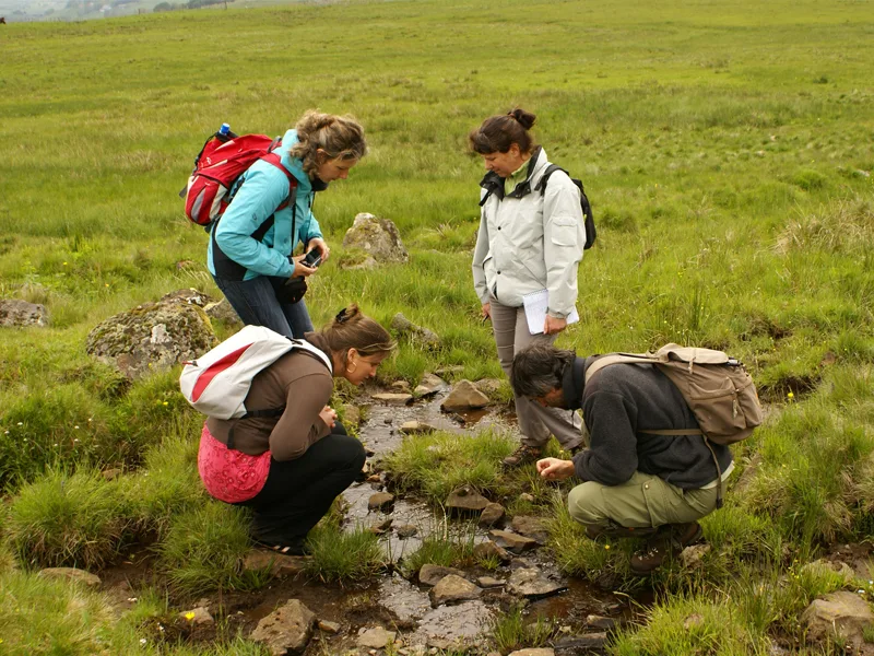
2/ Cross it and continue straight. Cross a stream then continue left (recent plantation) until you reach a chicane backed by a fence. Turn right then, after a few meters, turn left following a fence on the right. Pass a chicane then a stream and go straight on into a meadow. Cross a stepladder then continue the climb following a fence on the right. Cross the meadow, veering a little to the right to reach the edge of a forest at the high point. Go down to the right at the edge of the forest, cross a stepladder and enter the forest via a wide path. Cross a stream then a second and follow a low wall on the edge of a meadow. Further on the path deviates from it then overlooks it after turning left. Go up to the right, cross a stepladder and, after 20m, turn left onto a grassy path alongside a hedge. Cross this and continue left until you reach a road.
3/ Take it on the left for 30 m and turn right (ENS peat bog of Jouvion,) following the fence then taking a long footbridge over the peat bog. Continue right to the next wetland (information on the fauna, flora and restoration of the ENS). Cross the street, go up to the right, continue on the path between the low walls (two stepladders), then follow a small road to the right for 300 m. At the departmental road, go right and, 100 m further, turn left towards Fontlade. Continue straight ahead until you reach a road (Bertinet farm below).
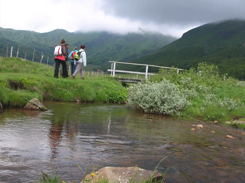
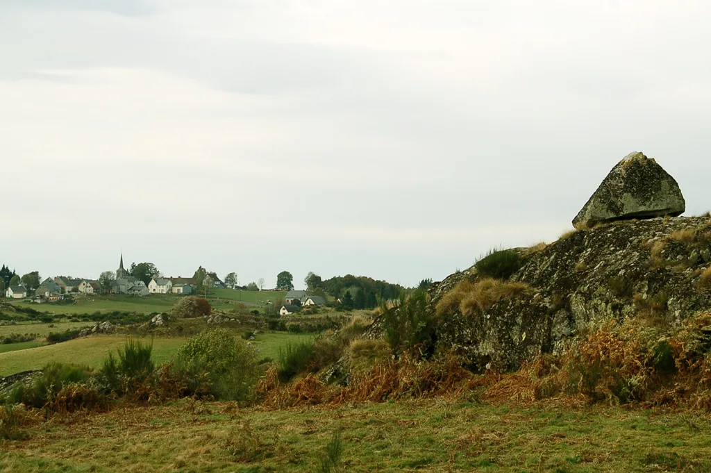
4/ Take it on the left (panorama of Sancy, Cézallier and the Cantal mountains) for 1,5 km, then follow the D88 on the right. After the bridge, turn left into Impasse du Sac and after 20m cross the stepladder on the right. Go opposite then follow the fence on the left. Cross a stepladder and head towards the large rock opposite. Climb to the right to the summit rocky outcrops and descend, veering left towards a clump of conifers. At the path, turn right, go down towards the stream, cross it and go back up, pulling right. After the rocks, cross the meadow heading towards a house. At the road go down right. At the road junction, go up left and reach the starting point.
This route takes paths with a sometimes vague route crossing private properties almost up to Jouvion as well as after the Sac impasse at the end of the route.
2023-09-08
2030-12-31
Route details
Description
1 – Cross it and continue straight. Cross a stream then continue left (recent plantation) until you reach a chicane backed by a fence. Turn right then, after a few meters, turn left following a fence on the right. Pass a chicane then a stream and go straight on into a meadow. Cross a stepladder then continue the climb following a fence on the right. Cross the meadow, veering a little to the right to reach the edge of a forest at the high point. Go down to the right at the edge of the forest, cross a stepladder and enter the forest via a wide path. Cross a stream then a second and follow a low wall on the edge of a meadow. Further on the path deviates from it then overlooks it after turning left. Go up to the right, cross a stepladder and, after 20m, turn left onto a grassy path alongside a hedge. Cross this and continue left until you reach a road.
2 – Take it on the left for 30 m and turn right (ENS peat bog of Jouvion,) following the fence then taking a long footbridge over the peat bog. Continue right to the next wetland (information on the fauna, flora and restoration of the ENS). Cross the street, go up to the right, continue on the path between the low walls (two stepladders), then follow a small road to the right for 300 m. At the departmental road, go right and, 100 m further, turn left towards Fontlade. Continue straight ahead until you reach a road (Bertinet farm below).
3 – Take it on the left (panorama of Sancy, Cézallier and the Cantal mountains) for 1,5 km, then follow the D88 on the right. After the bridge, turn left into Impasse du Sac and after 20m cross the stepladder on the right. Go opposite then follow the fence on the left. Cross a stepladder and head towards the large rock opposite. Climb to the right to the summit rocky outcrops and descend, veering left towards a clump of conifers. At the path, turn right, go down towards the stream, cross it and go back up, pulling right. After the rocks, cross the meadow heading towards a house. At the road go down to the right. At the road junction, go up left and reach the starting point.