


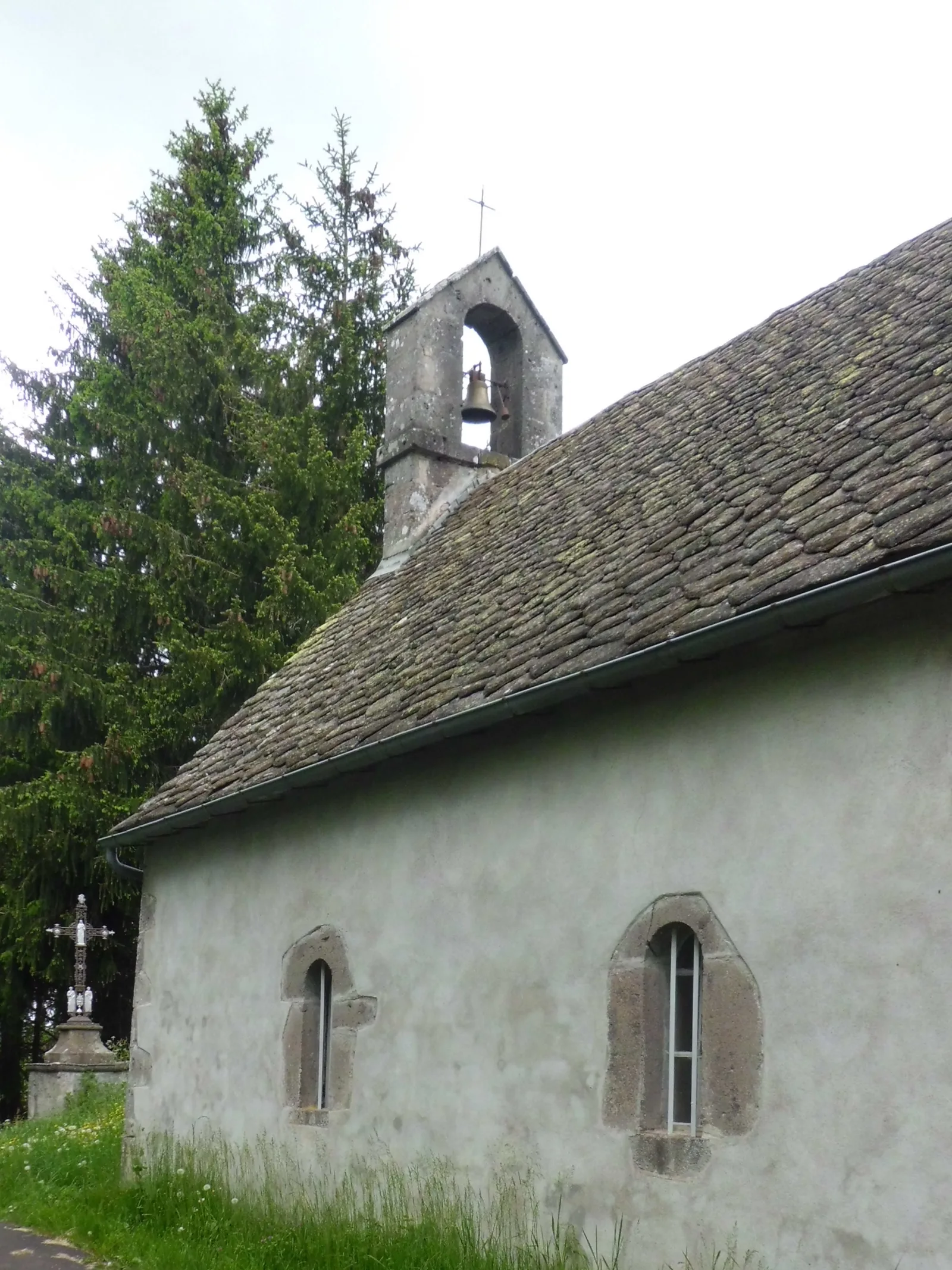
– Chapel and castle ruins.
– View of the Sancy massif and the Cantal mountains.
1/ From the departure sign behind the town hall, cross the main street and take the street facing the fountain. At the roundabout, continue towards La Tour-d'Auvergne. At the first intersection go left towards Tyrande. At the bend at the entrance to the hamlet, continue straight on a sunken path until you reach the D922 (picnic area).
2/ Cross it and continue opposite between the dairy buildings. Continue straight on this path, cross a stream and go to the crossroads in the village of Granges. Continue opposite between the houses. At the fork (chapel and ruins of the castle), go down left then turn right to go around the mound and return below the chapel. Continue straight ahead, take the first path on the left and go up to a tarmac path.
3/ Take it on the left (panoramic view) and follow it to the center of the hamlet of Cheminade (cross). Go down to the right and take the first path on the left (under the power line). Cross a stream and go up a sunken path. At the first intersection (metal cross) continue opposite between low walls until the next intersection (wooden cross).
3- Turn left. At the road (view of the Sancy massif and the Cantal mountains) continue opposite. At the fork, go right and at the next, go straight down a path to Tauves. Cross the D922, follow the D29a for 100 m then head towards the town center and descend to reach the starting point.
Route details
Description
1 – Cross it and continue opposite between the dairy buildings. Continue straight on this path, cross a stream and go to the crossroads in the village of Granges. Continue opposite between the houses. At the fork (chapel and castle ruins), go down left then turn right to go around the hill and return below the chapel. Continue straight ahead, take the first path on the left and go up to a tarmac path.
2 – Take it on the left (panoramic view) and follow it to the center of the hamlet of Cheminade (cross). Go down to the right and take the first path on the left (under the power line). Cross a stream and go up a sunken path. At the first intersection (metal cross) continue opposite between low walls until the next intersection (wooden cross).
3- Turn left. At the road (view of the Sancy massif and the Cantal mountains) continue opposite. At the fork, go right and at the next, go straight down a path to Tauves. Cross the D922, follow the D29a for 100 m then head towards the town center and descend to reach the starting point.